Ercsi geodata
Ercsi (Fejér) is a populated place; located in Hungary in Europe/Budapest (GMT+2) time zone. With population of 8,383 people, there are 191 cities with bigger population in this country. Compared to other cities in Hungary, 59.3% of cities are located further ↑North; 68.8% of cities are located further →East and 56.8% of cities have lower elevation than Ercsi. Note1


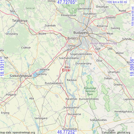
Ercsi GPS coordinates[2]
47° 15' 6.984" North, 18° 53' 46.428" East
| Map corner | latitude | longitude |
|---|---|---|
| Upper-left | 47.72705°, | 18.19311° |
| Center: | 47.25194°, | 18.89623° |
| Lower-right: | 46.77252°, | 19.59936° |
| Map W x H: | 106.1×106.1 km | = 65.9×65.9mi |
| max Lat: | 48.46667° ⇑59.3% North |
| Ercsi: | 47.25194° |
| min Lat: | ⇓40.7% South 45.79108° |
| min Long | Ercsi | max Long |
| 16.27358° | 18.89623° | 22.68096° |
| W 31.2%⇐ | ⇒68.8% E |
Elevation
Elevation of Ercsi is 123 m = 404 ft, and this is 6.7 m = 22 ft below average elevation for this country.
| Max E: |
444 m = 1457 ft | 43.2% |
| Avg. | 129.7 m = 426 ft | |
| Ercsi | 123 m = 404 ft | |
Min E: |
71 m = 233 ft | 56.8% |
See also: Hungary elevation on elevation.city.
Geographical zone
Ercsi is located in North temperate zone (between Tropic of Cancer and the Arctic Circle). Distance of this North polar circle is 2147.3 km =1334.3 mi to North.| Distance of | km | miles | from Ercsi |
|---|---|---|---|
| North Pole | 4753.1 | 2953.4 | to North |
| Arctic Circle | 2147.3 | 1334.3 | to North |
| Tropic Cancer | 2648 | 1645.4 | to South |
| Equator | 5253.9 | 3264.6 | to South |


Nearby cities:
15 places around Ercsi: (largest is in red/bold)
• Baracska
10.9 km =6.8 mi,  287°
287°
• Dunavarsány
13.2 km =8.2 mi,  76°
76°
• Délegyháza
14.7 km =9.1 mi,  94°
94°
• Halásztelek
13.8 km =8.6 mi,  27°
27°
• Iváncsa
12 km =7.5 mi,  208°
208°
• Kiskunlacháza
11.1 km =6.9 mi,  129°
129°
• Martonvásár
10.7 km =6.6 mi,  311°
311°
• Ráckeresztúr
5.3 km =3.3 mi,  296°
296°
• Ráckeve
10.8 km =6.7 mi,  160°
160°
• Szigetcsép
5.8 km =3.6 mi, 75°
• Szigethalom
11.2 km =7 mi,  45°
45°
• Szigetújfalu
3.1 km =1.9 mi, 129°
• Százhalombatta
9.2 km =5.7 mi,  20°
20°
• Tárnok
14 km =8.7 mi,  344°
344°
• Tököl
9.2 km =5.7 mi, 32°
Sources, notices
• [Note1] Compared only with cities in Hungary existing in our database
• [Src1] Map data: © OpenStreetMap contributors (CC-BY-SA)
• [Src2] Other city data from geonames.org with taken over terms of usage.
• [Src3] Geographical zone / Annual Mean Temperature by Robert A. Rohde @ Wikipedia
