Enying geodata
Enying (Fejér) is a seat of a second-order administrative division; located in Hungary in Europe/Budapest (GMT+2) time zone. With population of 7,171 people, there are 214 cities with bigger population in this country. Compared to other cities in Hungary, 71.7% of cities are located further ↑North; 82.1% of cities are located further →East and 61.1% of cities have lower elevation than Enying. Note1


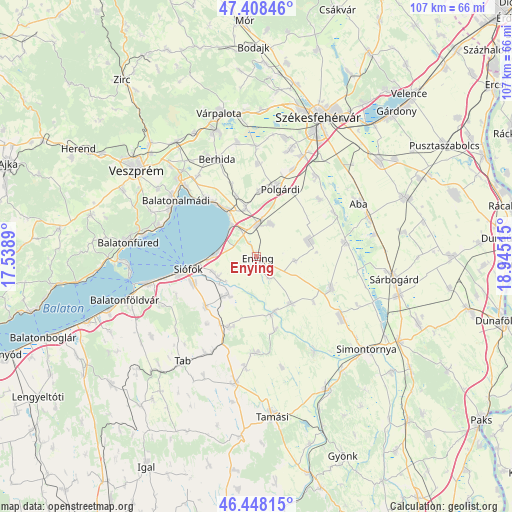
Enying GPS coordinates[2]
46° 55' 49.656" North, 18° 14' 31.272" East
| Map corner | latitude | longitude |
|---|---|---|
| Upper-left | 47.40846°, | 17.5389° |
| Center: | 46.93046°, | 18.24202° |
| Lower-right: | 46.44815°, | 18.94515° |
| Map W x H: | 106.8×106.8 km | = 66.4×66.4mi |
| max Lat: | 48.46667° ⇑71.7% North |
| Enying: | 46.93046° |
| min Lat: | ⇓28.3% South 45.79108° |
| min Long | Enying | max Long |
| 16.27358° | 18.24202° | 22.68096° |
| W 17.9%⇐ | ⇒82.1% E |
Elevation
Elevation of Enying is 127 m = 417 ft, and this is 2.7 m = 9 ft below average elevation for this country.
| Max E: |
444 m = 1457 ft | 38.9% |
| Avg. | 129.7 m = 426 ft | |
| Enying | 127 m = 417 ft | |
Min E: |
71 m = 233 ft | 61.1% |
See also: Hungary elevation on elevation.city.
Geographical zone
Enying is located in North temperate zone (between Tropic of Cancer and the Arctic Circle). Distance of this North polar circle is 2183 km =1356.5 mi to North.| Distance of | km | miles | from Enying |
|---|---|---|---|
| North Pole | 4788.9 | 2975.7 | to North |
| Arctic Circle | 2183 | 1356.5 | to North |
| Tropic Cancer | 2612.3 | 1623.2 | to South |
| Equator | 5218.2 | 3242.4 | to South |


Nearby cities:
15 places around Enying: (largest is in red/bold)
• Balatonalmádi
20.4 km =12.7 mi,  304°
304°
• Balatonkenese
15.9 km =9.9 mi,  319°
319°
• Balatonszabadi
8.9 km =5.5 mi,  242°
242°
• Berhida
21.8 km =13.5 mi,  337°
337°
• Dég
17.3 km =10.7 mi,  113°
113°
• Kisláng
11.5 km =7.1 mi,  74°
74°
• Káloz
18.5 km =11.5 mi,  81°
81°
• Lajoskomárom
12.2 km =7.6 mi,  143°
143°
• Lepsény
6.7 km =4.2 mi,  1°
1°
• Mezőszilas
22.3 km =13.9 mi,  126°
126°
• Polgárdi
15.2 km =9.4 mi,  17°
17°
• Siófok
14.3 km =8.9 mi,  258°
258°
• Soponya
18.6 km =11.6 mi,  59°
59°
• Zamárdi
22.5 km =14 mi, 256°
• Ádánd
9.9 km =6.2 mi,  216°
216°
Sources, notices
• [Note1] Compared only with cities in Hungary existing in our database
• [Src1] Map data: © OpenStreetMap contributors (CC-BY-SA)
• [Src2] Other city data from geonames.org with taken over terms of usage.
• [Src3] Geographical zone / Annual Mean Temperature by Robert A. Rohde @ Wikipedia
