Oetotom geodata
Oetotom (East Nusa Tenggara) is a seat of a fourth-order administrative division; located in Indonesia in Asia/Makassar (GMT+8) time zone. In our database, there are 407 cities with bigger population. Compared to other cities in Indonesia, 95.7% of cities are located further ↑North; 97.6% of cities are located further ←West and 76% of cities have lower elevation than Oetotom. Note1


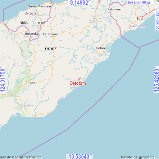
Oetotom GPS coordinates[2]
9° 50' 36.24" South, 124° 43' 14.52" East
| Map corner | latitude | longitude |
|---|---|---|
| Upper-left | -9.14992°, | 124.01758° |
| Center: | -9.8434°, | 124.7207° |
| Lower-right: | -10.53543°, | 125.42383° |
| Map W x H: | 154.1×154.1 km | = 95.8×95.8mi |
| max Lat: | 5.88969° ⇑95.7% North |
| Oetotom: | -9.8434° |
| min Lat: | ⇓4.3% South -10.934° |
| min Long | Oetotom | max Long |
| 95.1345° | 124.7207° | 140.9419° |
| W 97.6%⇐ | ⇒2.4% E |
Elevation
Elevation of Oetotom is 372 m = 1220 ft, and this is 142.3 m = 467 ft above average elevation for this country.
| Max E: |
3185 m = 10449 ft | 24% |
| Oetotom | 372 m 1220 ft | |
| Avg. | 229.7 m = 754 ft | |
Min E: |
-1 m = -3 ft | 76% |
See also: Indonesia elevation on elevation.city.
Geographical zone
Oetotom is located in South Torrid zone (between Equator and Tropic of Capricorn). Distance of Equator is 1094.5 km =680.1 mi to North.| Distance of | km | miles | from Oetotom |
|---|---|---|---|
| Equator | 1094.5 | 680.1 | to North |
| Tropic Capricorn | 1511.4 | 939.1 | to South |
| Antarctic Circle | 6306.7 | 3918.8 | to South |
| South Pole | 8912.6 | 5538 | to South |


Nearby cities:
15 places around Oetotom: (largest is in red/bold)
• Haumeni
8.4 km =5.2 mi,  236°
236°
• Koana
3.6 km =2.2 mi,  295°
295°
• Kualeu
7.7 km =4.8 mi,  254°
254°
• Maemutip
6 km =3.7 mi,  230°
230°
• Malla
6.2 km =3.9 mi,  332°
332°
• Manufui
5.9 km =3.7 mi,  5°
5°
• Nenotes
6.3 km =3.9 mi,  309°
309°
• Noebana
10.5 km =6.5 mi,  318°
318°
• Oenopu
3.6 km =2.2 mi,  208°
208°
• Poli
8.6 km =5.3 mi,  346°
346°
• Putun
6.9 km =4.3 mi, 236°
• Sahan
8.3 km =5.2 mi, 212°
• Sbo’o
7.2 km =4.5 mi,  273°
273°
• Sunu
9.1 km =5.7 mi,  286°
286°
• Tene
9.9 km =6.2 mi, 272°
Sources, notices
• [Note1] Compared only with cities in Indonesia existing in our database
• [Src1] Map data: © OpenStreetMap contributors (CC-BY-SA)
• [Src2] Other city data from geonames.org with taken over terms of usage.
• [Src3] Geographical zone / Annual Mean Temperature by Robert A. Rohde @ Wikipedia
