Pantai Ceuremen geodata
Pantai Ceuremen (Aceh) is a seat of a third-order administrative division; located in Indonesia in Asia/Jakarta (GMT+7) time zone. In our database, there are 407 cities with bigger population. Compared to other cities in Indonesia, 99.1% of cities are located further ↓South; 99.5% of cities are located further →East and 77.1% of cities have higher elevation than Pantai Ceuremen. Note1


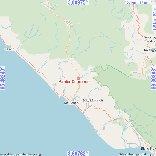
Pantai Ceuremen GPS coordinates[2]
4° 22' 8.436" North, 96° 11' 43.98" East
| Map corner | latitude | longitude |
|---|---|---|
| Upper-left | 5.06975°, | 95.49243° |
| Center: | 4.36901°, | 96.19555° |
| Lower-right: | 3.66762°, | 96.89868° |
| Map W x H: | 155.9×155.9 km | = 96.9×96.9mi |
| max Lat: | 5.88969° ⇑0.9% North |
| Pantai Ceuremen: | 4.36901° |
| min Lat: | ⇓99.1% South -10.934° |
| min Long | Pantai Ceuremen | max Long |
| 95.1345° | 96.19555° | 140.9419° |
| W 0.5%⇐ | ⇒99.5% E |
Elevation
Elevation of Pantai Ceuremen is 22 m = 72 ft, and this is 207.7 m = 681 ft below average elevation for this country.
| Max E: |
3185 m = 10449 ft | 77.1% |
| Avg. | 229.7 m = 754 ft | |
| Pantai Ceuremen | 22 m = 72 ft | |
Min E: |
-1 m = -3 ft | 22.9% |
See also: Indonesia elevation on elevation.city.
Geographical zone
Pantai Ceuremen is located in North Torrid zone (between Equator and Tropic of Cancer). Distance of Equator is 485.8 km =301.9 mi to South.| Distance of | km | miles | from Pantai Ceuremen |
|---|---|---|---|
| North Pole | 9521.3 | 5916.3 | to North |
| Arctic Circle | 6915.4 | 4297 | to North |
| Tropic Cancer | 2120.1 | 1317.4 | to North |
| Equator | 485.8 | 301.9 | to South |


Nearby cities:
15 places around Pantai Ceuremen: (largest is in red/bold)
• Alue Bilie
57.2 km =35.5 mi,  134°
134°
• Banda Layung
17.9 km =11.1 mi,  217°
217°
• Beutong Ateuh
29.8 km =18.5 mi,  116°
116°
• Blang Ara
21.7 km =13.5 mi, 116°
• Celala
60.5 km =37.6 mi,  65°
65°
• Drien Rampak
27.1 km =16.8 mi,  256°
256°
• Geumpang
51.3 km =31.9 mi,  355°
355°
• Kajeung
17.6 km =10.9 mi,  336°
336°
• Kalde Panga
57.2 km =35.5 mi,  291°
291°
• Keudee Aron
17.3 km =10.7 mi,  186°
186°
• Kuala Bhee
16.6 km =10.3 mi,  276°
276°
• Kuala Tuha
34.9 km =21.7 mi,  171°
171°
• Meulaboh
26.2 km =16.3 mi,  196°
196°
• Meureubo
25.7 km =16 mi, 188°
• Rusip
56.7 km =35.2 mi,  54°
54°
Sources, notices
• [Note1] Compared only with cities in Indonesia existing in our database
• [Src1] Map data: © OpenStreetMap contributors (CC-BY-SA)
• [Src2] Other city data from geonames.org with taken over terms of usage.
• [Src3] Geographical zone / Annual Mean Temperature by Robert A. Rohde @ Wikipedia
