Long Peso geodata
Long Peso (North Kalimantan) is a seat of a third-order administrative division; located in Indonesia in Asia/Makassar (GMT+8) time zone. In our database, there are 407 cities with bigger population. Compared to other cities in Indonesia, 97.7% of cities are located further ↓South; 78.1% of cities are located further ←West and 70.7% of cities have higher elevation than Long Peso. Note1


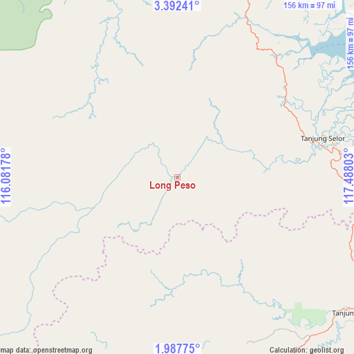
Long Peso GPS coordinates[2]
2° 41' 25.008" North, 116° 47' 5.64" East
| Map corner | latitude | longitude |
|---|---|---|
| Upper-left | 3.39241°, | 116.08178° |
| Center: | 2.69028°, | 116.7849° |
| Lower-right: | 1.98775°, | 117.48803° |
| Map W x H: | 156.2×156.2 km | = 97.1×97.1mi |
| max Lat: | 5.88969° ⇑2.3% North |
| Long Peso: | 2.69028° |
| min Lat: | ⇓97.7% South -10.934° |
| min Long | Long Peso | max Long |
| 95.1345° | 116.7849° | 140.9419° |
| W 78.1%⇐ | ⇒21.9% E |
Elevation
Elevation of Long Peso is 31 m = 102 ft, and this is 198.7 m = 652 ft below average elevation for this country.
| Max E: |
3185 m = 10449 ft | 70.7% |
| Avg. | 229.7 m = 754 ft | |
| Long Peso | 31 m = 102 ft | |
Min E: |
-1 m = -3 ft | 29.3% |
See also: Indonesia elevation on elevation.city.
Geographical zone
Long Peso is located in North Torrid zone (between Equator and Tropic of Cancer). Distance of Equator is 299.1 km =185.9 mi to South.| Distance of | km | miles | from Long Peso |
|---|---|---|---|
| North Pole | 9707.9 | 6032.2 | to North |
| Arctic Circle | 7102 | 4413 | to North |
| Tropic Cancer | 2306.8 | 1433.4 | to North |
| Equator | 299.1 | 185.9 | to South |


Nearby cities:
15 places around Long Peso: (largest is in red/bold)
• Kerangagung
59.2 km =36.8 mi,  54°
54°
• Long Bang
22 km =13.7 mi,  37°
37°
• Long Beluah
34.7 km =21.6 mi,  77°
77°
• Long Loreh
63.6 km =39.5 mi,  326°
326°
• Long Pujungan
110.6 km =68.7 mi,  264°
264°
• Malinau
101.5 km =63.1 mi,  349°
349°
• Mensalong
118.9 km =73.9 mi,  357°
357°
• Mentarang
122.7 km =76.2 mi, 326°
• Salinbatu
68 km =42.3 mi,  65°
65°
• Sekatak Bengara
64.9 km =40.3 mi, 47°
• Sesayap
102.5 km =63.7 mi,  13°
13°
• Tanjung Palas
63.8 km =39.6 mi, 75°
• Tanjung Selor
66.5 km =41.3 mi, 75°
• Tarakan
113.2 km =70.3 mi, 52°
• Tideng Pale
102.9 km =63.9 mi, 7°
Sources, notices
• [Note1] Compared only with cities in Indonesia existing in our database
• [Src1] Map data: © OpenStreetMap contributors (CC-BY-SA)
• [Src2] Other city data from geonames.org with taken over terms of usage.
• [Src3] Geographical zone / Annual Mean Temperature by Robert A. Rohde @ Wikipedia
