Sigi Biromaru geodata
Sigi Biromaru (Central Sulawesi) is a seat of a second-order administrative division; located in Indonesia in Asia/Makassar (GMT+8) time zone. In our database, there are 407 cities with bigger population. Compared to other cities in Indonesia, 93.9% of cities are located further ↓South; 82.5% of cities are located further ←West and 57.7% of cities have higher elevation than Sigi Biromaru. Note1


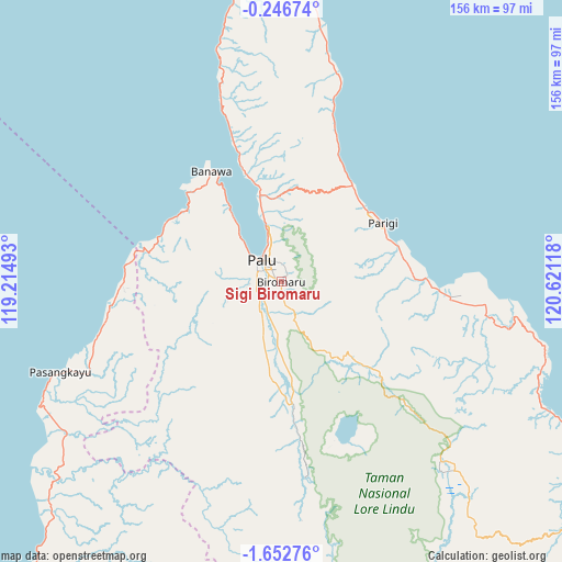
Sigi Biromaru GPS coordinates[2]
0° 56' 59.352" South, 119° 55' 4.98" East
| Map corner | latitude | longitude |
|---|---|---|
| Upper-left | -0.24674°, | 119.21493° |
| Center: | -0.94982°, | 119.91805° |
| Lower-right: | -1.65276°, | 120.62118° |
| Map W x H: | 156.3×156.3 km | = 97.1×97.1mi |
| max Lat: | 5.88969° ⇑6.1% North |
| Sigi Biromaru: | -0.94982° |
| min Lat: | ⇓93.9% South -10.934° |
| min Long | Sigi Biromaru | max Long |
| 95.1345° | 119.91805° | 140.9419° |
| W 82.5%⇐ | ⇒17.5% E |
Elevation
Elevation of Sigi Biromaru is 69 m = 226 ft, and this is 160.7 m = 527 ft below average elevation for this country.
| Max E: |
3185 m = 10449 ft | 57.7% |
| Avg. | 229.7 m = 754 ft | |
| Sigi Biromaru | 69 m = 226 ft | |
Min E: |
-1 m = -3 ft | 42.3% |
See also: Indonesia elevation on elevation.city.
Geographical zone
Sigi Biromaru is located in South Torrid zone (between Equator and Tropic of Capricorn). Distance of Equator is 105.6 km =65.6 mi to North.| Distance of | km | miles | from Sigi Biromaru |
|---|---|---|---|
| Equator | 105.6 | 65.6 | to North |
| Tropic Capricorn | 2500.3 | 1553.6 | to South |
| Antarctic Circle | 7295.6 | 4533.3 | to South |
| South Pole | 9901.5 | 6152.5 | to South |


Nearby cities:
15 places around Sigi Biromaru: (largest is in red/bold)
• Ampana
185.4 km =115.2 mi,  87°
87°
• Babana
148.8 km =92.5 mi,  212°
212°
• Donggala
36.6 km =22.7 mi,  327°
327°
• Kalumpang
176.6 km =109.7 mi,  195°
195°
• Kasiguncu
97.3 km =60.5 mi,  122°
122°
• Kolonodale
195 km =121.2 mi,  126°
126°
• Masamba
184.1 km =114.4 mi,  165°
165°
• Palu
7 km =4.3 mi,  311°
311°
• Parigi
32.4 km =20.1 mi,  62°
62°
• Pendolo
151.4 km =94.1 mi,  145°
145°
• Poso
105.2 km =65.4 mi, 118°
• Sukamaju
194.4 km =120.8 mi,  161°
161°
• Tagolu
109.5 km =68 mi, 119°
• Tentena
120.9 km =75.1 mi,  137°
137°
• Tobadak
141.7 km =88 mi, 206°
Sources, notices
• [Note1] Compared only with cities in Indonesia existing in our database
• [Src1] Map data: © OpenStreetMap contributors (CC-BY-SA)
• [Src2] Other city data from geonames.org with taken over terms of usage.
• [Src3] Geographical zone / Annual Mean Temperature by Robert A. Rohde @ Wikipedia
