Watampone geodata
Watampone (South Sulawesi) is a seat of a second-order administrative division; located in Indonesia in Asia/Makassar (GMT+8) time zone. With population of 81,629 people, there are 158 cities with bigger population in this country. Compared to other cities in Indonesia, 89% of cities are located further ↓South; 83.7% of cities are located further ←West and 68.9% of cities have higher elevation than Watampone. Note1


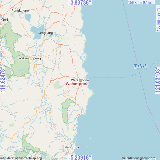
Watampone GPS coordinates[2]
4° 32' 18.96" South, 120° 19' 40.44" East
| Map corner | latitude | longitude |
|---|---|---|
| Upper-left | -3.83736°, | 119.62478° |
| Center: | -4.5386°, | 120.3279° |
| Lower-right: | -5.23916°, | 121.03103° |
| Map W x H: | 155.9×155.9 km | = 96.9×96.9mi |
| max Lat: | 5.88969° ⇑11% North |
| Watampone: | -4.5386° |
| min Lat: | ⇓89% South -10.934° |
| min Long | Watampone | max Long |
| 95.1345° | 120.3279° | 140.9419° |
| W 83.7%⇐ | ⇒16.3% E |
Elevation
Elevation of Watampone is 34 m = 112 ft, and this is 195.7 m = 642 ft below average elevation for this country.
| Max E: |
3185 m = 10449 ft | 68.9% |
| Avg. | 229.7 m = 754 ft | |
| Watampone | 34 m = 112 ft | |
Min E: |
-1 m = -3 ft | 31.1% |
See also: Watampone elevation on elevation.city.
Geographical zone
Watampone is located in South Torrid zone (between Equator and Tropic of Capricorn). Distance of Equator is 504.6 km =313.5 mi to North.| Distance of | km | miles | from Watampone |
|---|---|---|---|
| Equator | 504.6 | 313.5 | to North |
| Tropic Capricorn | 2101.3 | 1305.7 | to South |
| Antarctic Circle | 6896.5 | 4285.3 | to South |
| South Pole | 9502.4 | 5904.5 | to South |


Nearby cities:
15 places around Watampone: (largest is in red/bold)
• Apala
8.4 km =5.2 mi,  190°
190°
• Bulubulu
41.9 km =26 mi, 187°
• Camming
41.2 km =25.6 mi,  222°
222°
• Jalang
55.6 km =34.5 mi,  359°
359°
• Kadai
30 km =18.6 mi,  176°
176°
• Kotabaru
50.5 km =31.4 mi,  315°
315°
• Maroanging
45.8 km =28.5 mi,  326°
326°
• Matango
37.4 km =23.2 mi,  248°
248°
• Palakka
4.4 km =2.7 mi,  280°
280°
• Palattae
53.7 km =33.4 mi,  206°
206°
• Pompanua
40.1 km =24.9 mi, 330°
• Sengkang
56.4 km =35 mi, 324°
• Taccipi
16.3 km =10.1 mi, 282°
• Tancung
63.4 km =39.4 mi, 328°
• Watansoppeng
53.4 km =33.2 mi,  292°
292°
Sources, notices
• [Note1] Compared only with cities in Indonesia existing in our database
• [Src1] Map data: © OpenStreetMap contributors (CC-BY-SA)
• [Src2] Other city data from geonames.org with taken over terms of usage.
• [Src3] Geographical zone / Annual Mean Temperature by Robert A. Rohde @ Wikipedia
