Sengkang geodata
Sengkang (South Sulawesi) is a seat of a third-order administrative division; located in Indonesia in Asia/Makassar (GMT+8) time zone. With population of 59,523 people, there are 200 cities with bigger population in this country. Compared to other cities in Indonesia, 89.3% of cities are located further ↓South; 82.8% of cities are located further ←West and 76.2% of cities have higher elevation than Sengkang. Note1


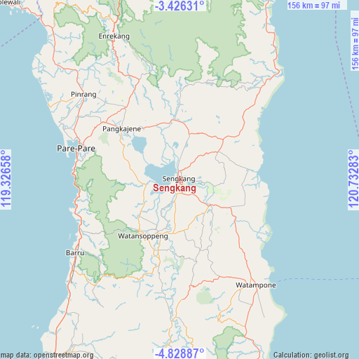
Sengkang GPS coordinates[2]
4° 7' 40.44" South, 120° 1' 46.92" East
| Map corner | latitude | longitude |
|---|---|---|
| Upper-left | -3.42631°, | 119.32658° |
| Center: | -4.1279°, | 120.0297° |
| Lower-right: | -4.82887°, | 120.73283° |
| Map W x H: | 156×156 km | = 96.9×96.9mi |
| max Lat: | 5.88969° ⇑10.7% North |
| Sengkang: | -4.1279° |
| min Lat: | ⇓89.3% South -10.934° |
| min Long | Sengkang | max Long |
| 95.1345° | 120.0297° | 140.9419° |
| W 82.8%⇐ | ⇒17.2% E |
Elevation
Elevation of Sengkang is 23 m = 75 ft, and this is 206.7 m = 678 ft below average elevation for this country.
| Max E: |
3185 m = 10449 ft | 76.2% |
| Avg. | 229.7 m = 754 ft | |
| Sengkang | 23 m = 75 ft | |
Min E: |
-1 m = -3 ft | 23.8% |
See also: Sengkang elevation on elevation.city.
Geographical zone
Sengkang is located in South Torrid zone (between Equator and Tropic of Capricorn). Distance of Equator is 459 km =285.2 mi to North.| Distance of | km | miles | from Sengkang |
|---|---|---|---|
| Equator | 459 | 285.2 | to North |
| Tropic Capricorn | 2146.9 | 1334 | to South |
| Antarctic Circle | 6942.2 | 4313.7 | to South |
| South Pole | 9548.1 | 5932.9 | to South |


Nearby cities:
15 places around Sengkang: (largest is in red/bold)
• Amparita
28.4 km =17.6 mi,  301°
301°
• Baranti
42.1 km =26.2 mi,  319°
319°
• Harapankarya
45.5 km =28.3 mi,  289°
289°
• Jalang
33.9 km =21.1 mi,  72°
72°
• Kotabaru
9.8 km =6.1 mi,  193°
193°
• Majennang
49.7 km =30.9 mi, 290°
• Maroanging
10.7 km =6.6 mi,  134°
134°
• Parepare
46.6 km =29 mi, 285°
• Pompanua
17.1 km =10.6 mi, 129°
• Rappang
39.3 km =24.4 mi, 323°
• Sidenreng
33.9 km =21.1 mi,  311°
311°
• Taccipi
45.5 km =28.3 mi,  157°
157°
• Tancung
8.4 km =5.2 mi,  359°
359°
• Uluale
40.1 km =24.9 mi, 307°
• Watansoppeng
29.7 km =18.5 mi,  212°
212°
Sources, notices
• [Note1] Compared only with cities in Indonesia existing in our database
• [Src1] Map data: © OpenStreetMap contributors (CC-BY-SA)
• [Src2] Other city data from geonames.org with taken over terms of usage.
• [Src3] Geographical zone / Annual Mean Temperature by Robert A. Rohde @ Wikipedia
