Calverstown geodata
Calverstown (Leinster) is a populated place; located in Ireland in Europe/Dublin (GMT+1) time zone. With population of 648 people, there are 455 cities with bigger population in this country. Compared to other cities in Ireland, 59% of cities are located further ↑North; 65.7% of cities are located further ←West and 90.3% of cities have lower elevation than Calverstown. Note1


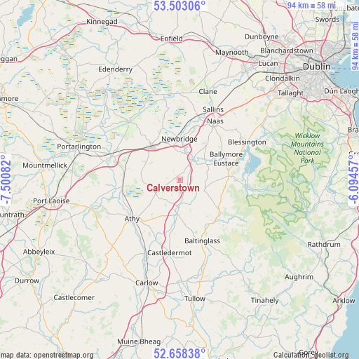
Calverstown GPS coordinates[2]
53° 4' 58.044" North, 6° 47' 51.72" West
| Map corner | latitude | longitude |
|---|---|---|
| Upper-left | 53.50306°, | -7.50082° |
| Center: | 53.08279°, | -6.7977° |
| Lower-right: | 52.65838°, | -6.09457° |
| Map W x H: | 93.9×93.9 km | = 58.3×58.3mi |
| max Lat: | 55.25° ⇑59% North |
| Calverstown: | 53.08279° |
| min Lat: | ⇓41% South 51.52487° |
| min Long | Calverstown | max Long |
| -10.26889° | -6.7977° | -6.04944° |
| W 65.7%⇐ | ⇒34.3% E |
Elevation
Elevation of Calverstown is 106 m = 348 ft, and this is 51.5 m = 169 ft above average elevation for this country.
| Max E: |
262 m = 860 ft | 9.7% |
| Calverstown | 106 m 348 ft | |
| Avg. | 54.5 m = 179 ft | |
Min E: |
0 m = 0 ft | 90.3% |
See also: Ireland elevation on elevation.city.
Geographical zone
Calverstown is located in North temperate zone (between Tropic of Cancer and the Arctic Circle). Distance of this North polar circle is 1498.9 km =931.4 mi to North.| Distance of | km | miles | from Calverstown |
|---|---|---|---|
| North Pole | 4104.8 | 2550.6 | to North |
| Arctic Circle | 1498.9 | 931.4 | to North |
| Tropic Cancer | 3296.3 | 2048.2 | to South |
| Equator | 5902.3 | 3667.5 | to South |


Nearby cities:
15 places around Calverstown: (largest is in red/bold)
• Athgarvan
7.8 km =4.8 mi,  7°
7°
• Athy
15.9 km =9.9 mi,  230°
230°
• Ballitore
8.6 km =5.3 mi,  189°
189°
• Ballymore Eustace
13.3 km =8.3 mi,  65°
65°
• Brownstown Cross Roads
6.8 km =4.2 mi,  335°
335°
• Cherryville
14 km =8.7 mi,  306°
306°
• Droichead Nua
11 km =6.8 mi,  0°
0°
• Dunlavin
7 km =4.3 mi,  115°
115°
• Kilcullen
6.4 km =4 mi,  33°
33°
• Kildare
11.3 km =7 mi,  316°
316°
• Moone
12 km =7.5 mi, 185°
• Naas
17.2 km =10.7 mi, 30°
• Old Kilcullen
3.4 km =2.1 mi,  39°
39°
• Suncroft
4.9 km =3 mi,  299°
299°
• Valleymount
16.5 km =10.3 mi,  81°
81°
Sources, notices
• [Note1] Compared only with cities in Ireland existing in our database
• [Src1] Map data: © OpenStreetMap contributors (CC-BY-SA)
• [Src2] Other city data from geonames.org with taken over terms of usage.
• [Src3] Geographical zone / Annual Mean Temperature by Robert A. Rohde @ Wikipedia
