Dunlavin geodata
Dunlavin (Leinster) is a populated place; located in Ireland in Europe/Dublin (GMT+1) time zone. With population of 830 people, there are 388 cities with bigger population in this country. Compared to other cities in Ireland, 59.8% of cities are located further ↑North; 68.5% of cities are located further ←West and 98.3% of cities have lower elevation than Dunlavin. Note1


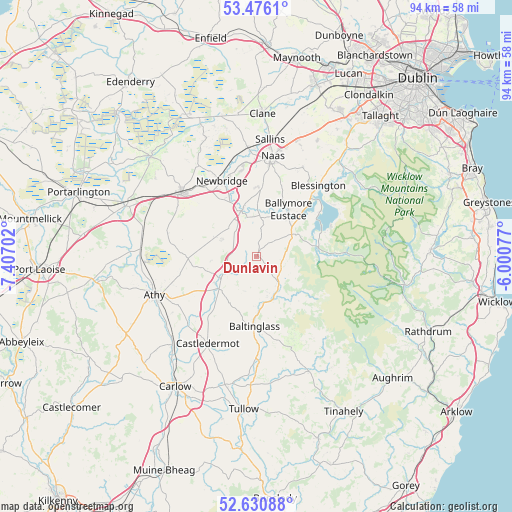
Dunlavin GPS coordinates[2]
53° 3' 20.016" North, 6° 42' 14.004" West
| Map corner | latitude | longitude |
|---|---|---|
| Upper-left | 53.4761°, | -7.40702° |
| Center: | 53.05556°, | -6.70389° |
| Lower-right: | 52.63088°, | -6.00077° |
| Map W x H: | 94×94 km | = 58.4×58.4mi |
| max Lat: | 55.25° ⇑59.8% North |
| Dunlavin: | 53.05556° |
| min Lat: | ⇓40.2% South 51.52487° |
| min Long | Dunlavin | max Long |
| -10.26889° | -6.70389° | -6.04944° |
| W 68.5%⇐ | ⇒31.5% E |
Elevation
Elevation of Dunlavin is 172 m = 564 ft, and this is 117.5 m = 385 ft above average elevation for this country.
| Max E: |
262 m = 860 ft | 1.7% |
| Dunlavin | 172 m 564 ft | |
| Avg. | 54.5 m = 179 ft | |
Min E: |
0 m = 0 ft | 98.3% |
See also: Ireland elevation on elevation.city.
Geographical zone
Dunlavin is located in North temperate zone (between Tropic of Cancer and the Arctic Circle). Distance of this North polar circle is 1501.9 km =933.2 mi to North.| Distance of | km | miles | from Dunlavin |
|---|---|---|---|
| North Pole | 4107.8 | 2552.5 | to North |
| Arctic Circle | 1501.9 | 933.2 | to North |
| Tropic Cancer | 3293.3 | 2046.4 | to South |
| Equator | 5899.2 | 3665.6 | to South |


Nearby cities:
15 places around Dunlavin: (largest is in red/bold)
• Athgarvan
11.9 km =7.4 mi,  334°
334°
• Ballitore
9.4 km =5.8 mi,  235°
235°
• Ballymore Eustace
10.4 km =6.5 mi,  33°
33°
• Baltinglass
13.2 km =8.2 mi,  181°
181°
• Blessington
17.1 km =10.6 mi,  41°
41°
• Brownstown Cross Roads
12.9 km =8 mi,  315°
315°
• Calverstown
7 km =4.3 mi,  295°
295°
• Droichead Nua
15.4 km =9.6 mi,  336°
336°
• Kilcullen
8.7 km =5.4 mi, 341°
• Kildare
18 km =11.2 mi,  308°
308°
• Moone
11.6 km =7.2 mi,  219°
219°
• Naas
18 km =11.2 mi,  7°
7°
• Old Kilcullen
7 km =4.3 mi, 324°
• Suncroft
11.8 km =7.3 mi, 297°
• Valleymount
11.4 km =7.1 mi,  61°
61°
Sources, notices
• [Note1] Compared only with cities in Ireland existing in our database
• [Src1] Map data: © OpenStreetMap contributors (CC-BY-SA)
• [Src2] Other city data from geonames.org with taken over terms of usage.
• [Src3] Geographical zone / Annual Mean Temperature by Robert A. Rohde @ Wikipedia
