Riāsi geodata
Riāsi (Jammu and Kashmir) is a populated place; located in India in Asia/Kolkata (GMT+5.5) time zone. With population of 8,101 people, there are 3118 cities with bigger population in this country. Compared to other cities in India, 99% of cities are located further ↓South; 84.2% of cities are located further →East and 83.8% of cities have lower elevation than Riāsi. Note1


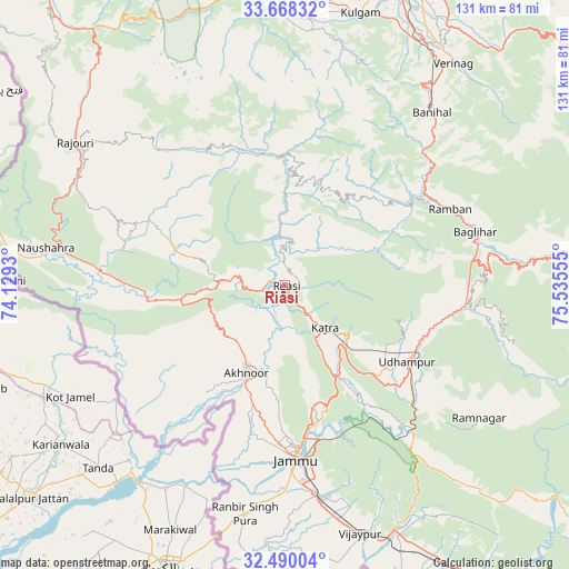
Riāsi GPS coordinates[2]
33° 4' 52.14" North, 74° 49' 56.712" East
| Map corner | latitude | longitude |
|---|---|---|
| Upper-left | 33.66832°, | 74.1293° |
| Center: | 33.08115°, | 74.83242° |
| Lower-right: | 32.49004°, | 75.53555° |
| Map W x H: | 131×131 km | = 81.4×81.4mi |
| max Lat: | 34.9274° ⇑1% North |
| Riāsi: | 33.08115° |
| min Lat: | ⇓99% South 8.09008° |
| min Long | Riāsi | max Long |
| 68.82655° | 74.83242° | 96.81° |
| W 15.8%⇐ | ⇒84.2% E |
Elevation
Elevation of Riāsi is 521 m = 1709 ft, and this is 225.4 m = 740 ft above average elevation for this country.
| Max E: |
3681 m = 12077 ft | 16.2% |
| Riāsi | 521 m 1709 ft | |
| Avg. | 295.6 m = 970 ft | |
Min E: |
1 m = 3 ft | 83.8% |
See also: India elevation on elevation.city.
Geographical zone
Riāsi is located in North temperate zone (between Tropic of Cancer and the Arctic Circle). Distance of this Northern Tropic circle is 1072.4 km =666.4 mi to South.| Distance of | km | miles | from Riāsi |
|---|---|---|---|
| North Pole | 6328.8 | 3932.5 | to North |
| Arctic Circle | 3722.9 | 2313.3 | to North |
| Tropic Cancer | 1072.4 | 666.4 | to South |
| Equator | 3678.3 | 2285.6 | to South |


Nearby cities:
15 places around Riāsi: (largest is in red/bold)
• Akhnūr
25.6 km =15.9 mi,  201°
201°
• Banihāl
52 km =32.3 mi,  40°
40°
• Batoti
44.6 km =27.7 mi,  84°
84°
• Bishnāh
52.4 km =32.6 mi,  177°
177°
• Gho Brāhmanān de
59.5 km =37 mi,  169°
169°
• Jammu
38.6 km =24 mi, 174°
• Jauriān
36.5 km =22.7 mi,  220°
220°
• Katra
13.6 km =8.5 mi,  137°
137°
• Khaur
53.2 km =33.1 mi, 182°
• Kūd
42.4 km =26.3 mi,  91°
91°
• Nawānshahr
45.2 km =28.1 mi, 218°
• Rajaori
58.6 km =36.4 mi,  303°
303°
• Rāmban
41.6 km =25.8 mi,  64°
64°
• Rāmnagar
54.1 km =33.6 mi,  124°
124°
• Udhampur
33.2 km =20.6 mi, 121°
Sources, notices
• [Note1] Compared only with cities in India existing in our database
• [Src1] Map data: © OpenStreetMap contributors (CC-BY-SA)
• [Src2] Other city data from geonames.org with taken over terms of usage.
• [Src3] Geographical zone / Annual Mean Temperature by Robert A. Rohde @ Wikipedia
