Raghunathpur geodata
Raghunathpur (West Bengal) is a populated place; located in India in Asia/Kolkata (GMT+5.5) time zone. With population of 22,802 people, there are 1847 cities with bigger population in this country. Compared to other cities in India, 55.1% of cities are located further ↓South; 88.6% of cities are located further ←West and 54.8% of cities have higher elevation than Raghunathpur. Note1


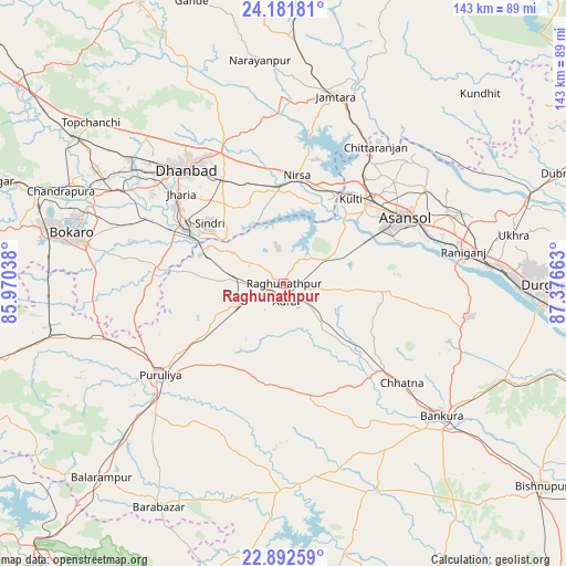
Raghunathpur GPS coordinates[2]
23° 32' 19.608" North, 86° 40' 24.6" East
| Map corner | latitude | longitude |
|---|---|---|
| Upper-left | 24.18181°, | 85.97038° |
| Center: | 23.53878°, | 86.6735° |
| Lower-right: | 22.89259°, | 87.37663° |
| Map W x H: | 143.3×143.3 km | = 89×89mi |
| max Lat: | 34.9274° ⇑44.9% North |
| Raghunathpur: | 23.53878° |
| min Lat: | ⇓55.1% South 8.09008° |
| min Long | Raghunathpur | max Long |
| 68.82655° | 86.6735° | 96.81° |
| W 88.6%⇐ | ⇒11.4% E |
Elevation
Elevation of Raghunathpur is 176 m = 577 ft, and this is 119.6 m = 392 ft below average elevation for this country.
| Max E: |
3681 m = 12077 ft | 54.8% |
| Avg. | 295.6 m = 970 ft | |
| Raghunathpur | 176 m = 577 ft | |
Min E: |
1 m = 3 ft | 45.2% |
See also: India elevation on elevation.city.
Geographical zone
Raghunathpur is located in North temperate zone (between Tropic of Cancer and the Arctic Circle). Distance of this Northern Tropic circle is 11.3 km =7 mi to South.| Distance of | km | miles | from Raghunathpur |
|---|---|---|---|
| North Pole | 7389.8 | 4591.8 | to North |
| Arctic Circle | 4783.9 | 2972.6 | to North |
| Tropic Cancer | 11.3 | 7 | to South |
| Equator | 2617.3 | 1626.3 | to South |


Nearby cities:
15 places around Raghunathpur: (largest is in red/bold)
• Adra
4.8 km =3 mi,  167°
167°
• Bhojudih
26.2 km =16.3 mi,  295°
295°
• Dhanbād
37.5 km =23.3 mi,  321°
321°
• Gobindpur
36.6 km =22.7 mi,  334°
334°
• Jharia
34.6 km =21.5 mi,  310°
310°
• Jāmadoba
34.2 km =21.3 mi, 305°
• Kenda
41.4 km =25.7 mi,  202°
202°
• Kenduadīh
40.1 km =24.9 mi, 311°
• Kulti
27.6 km =17.1 mi,  38°
38°
• Lakhyabad
14.2 km =8.8 mi,  357°
357°
• Mugma
26.3 km =16.3 mi,  12°
12°
• Nirsā
27.5 km =17.1 mi, 7°
• Puruliya
39.2 km =24.4 mi,  233°
233°
• Pāthardih
28.4 km =17.6 mi, 299°
• Āsansol
35.4 km =22 mi,  63°
63°
Sources, notices
• [Note1] Compared only with cities in India existing in our database
• [Src1] Map data: © OpenStreetMap contributors (CC-BY-SA)
• [Src2] Other city data from geonames.org with taken over terms of usage.
• [Src3] Geographical zone / Annual Mean Temperature by Robert A. Rohde @ Wikipedia
