Kenda geodata
Kenda (West Bengal) is a populated place; located in India in Asia/Kolkata (GMT+5.5) time zone. With population of 15,131 people, there are 2448 cities with bigger population in this country. Compared to other cities in India, 52.8% of cities are located further ↓South; 88.3% of cities are located further ←West and 58.5% of cities have lower elevation than Kenda. Note1


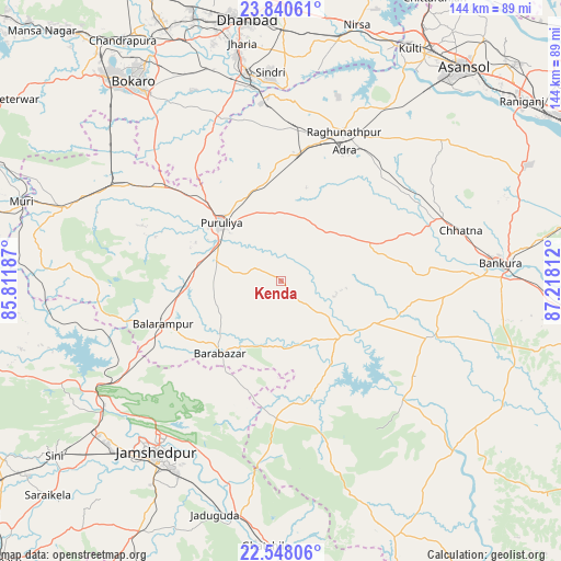
Kenda GPS coordinates[2]
23° 11' 45.24" North, 86° 30' 53.964" East
| Map corner | latitude | longitude |
|---|---|---|
| Upper-left | 23.84061°, | 85.81187° |
| Center: | 23.1959°, | 86.51499° |
| Lower-right: | 22.54806°, | 87.21812° |
| Map W x H: | 143.7×143.7 km | = 89.3×89.3mi |
| max Lat: | 34.9274° ⇑47.2% North |
| Kenda: | 23.1959° |
| min Lat: | ⇓52.8% South 8.09008° |
| min Long | Kenda | max Long |
| 68.82655° | 86.51499° | 96.81° |
| W 88.3%⇐ | ⇒11.7% E |
Elevation
Elevation of Kenda is 242 m = 794 ft, and this is 53.6 m = 176 ft below average elevation for this country.
| Max E: |
3681 m = 12077 ft | 41.5% |
| Avg. | 295.6 m = 970 ft | |
| Kenda | 242 m = 794 ft | |
Min E: |
1 m = 3 ft | 58.5% |
See also: India elevation on elevation.city.
Geographical zone
Kenda is located in North Torrid zone (between Equator and Tropic of Cancer). Distance of this Northern Tropic circle is 26.8 km =16.7 mi to North.| Distance of | km | miles | from Kenda |
|---|---|---|---|
| North Pole | 7427.9 | 4615.5 | to North |
| Arctic Circle | 4822 | 2996.3 | to North |
| Tropic Cancer | 26.8 | 16.7 | to North |
| Equator | 2579.1 | 1602.6 | to South |


Nearby cities:
15 places around Kenda: (largest is in red/bold)
• Adra
37.6 km =23.4 mi,  27°
27°
• Balarāmpur
31.8 km =19.8 mi,  249°
249°
• Bhojudih
49.9 km =31 mi,  351°
351°
• Bānkura
57 km =35.4 mi,  85°
85°
• Chāndil
54.2 km =33.7 mi,  240°
240°
• Chās
60.4 km =37.5 mi,  324°
324°
• Jamshedpur
55.2 km =34.3 mi,  217°
217°
• Jhalidā
58.1 km =36.1 mi,  288°
288°
• Jugsālai
57.7 km =35.9 mi, 216°
• Jāmadoba
59.1 km =36.7 mi, 348°
• Khātra
42.5 km =26.4 mi,  125°
125°
• Lakhyabad
54.6 km =33.9 mi,  16°
16°
• Puruliya
21.6 km =13.4 mi,  313°
313°
• Pāthardih
52.9 km =32.9 mi, 350°
• Raghunathpur
41.4 km =25.7 mi, 22°
Sources, notices
• [Note1] Compared only with cities in India existing in our database
• [Src1] Map data: © OpenStreetMap contributors (CC-BY-SA)
• [Src2] Other city data from geonames.org with taken over terms of usage.
• [Src3] Geographical zone / Annual Mean Temperature by Robert A. Rohde @ Wikipedia
