Eral geodata
Eral (Tamil Nadu) is a populated place; located in India in Asia/Kolkata (GMT+5.5) time zone. With population of 9,187 people, there are 3021 cities with bigger population in this country. Compared to other cities in India, 99.4% of cities are located further ↑North; 51.1% of cities are located further →East and 91.1% of cities have higher elevation than Eral. Note1


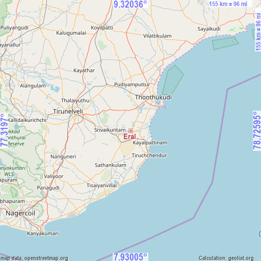
Eral GPS coordinates[2]
8° 37' 33.024" North, 78° 1' 22.152" East
| Map corner | latitude | longitude |
|---|---|---|
| Upper-left | 9.32036°, | 77.3197° |
| Center: | 8.62584°, | 78.02282° |
| Lower-right: | 7.93005°, | 78.72595° |
| Map W x H: | 154.6×154.6 km | = 96.1×96.1mi |
| max Lat: | 34.9274° ⇑99.4% North |
| Eral: | 8.62584° |
| min Lat: | ⇓0.6% South 8.09008° |
| min Long | Eral | max Long |
| 68.82655° | 78.02282° | 96.81° |
| W 48.9%⇐ | ⇒51.1% E |
Elevation
Elevation of Eral is 16 m = 52 ft, and this is 279.6 m = 917 ft below average elevation for this country.
| Max E: |
3681 m = 12077 ft | 91.1% |
| Avg. | 295.6 m = 970 ft | |
| Eral | 16 m = 52 ft | |
Min E: |
1 m = 3 ft | 8.9% |
See also: India elevation on elevation.city.
Geographical zone
Eral is located in North Torrid zone (between Equator and Tropic of Cancer). Distance of Equator is 959.1 km =596 mi to South.| Distance of | km | miles | from Eral |
|---|---|---|---|
| North Pole | 9048 | 5622.2 | to North |
| Arctic Circle | 6442.1 | 4002.9 | to North |
| Tropic Cancer | 1646.8 | 1023.3 | to North |
| Equator | 959.1 | 596 | to South |


Nearby cities:
15 places around Eral: (largest is in red/bold)
• Alwa Tirunagari
9.4 km =5.8 mi,  256°
256°
• Arumuganeri
9.8 km =6.1 mi,  130°
130°
• Gangaikondān
37.1 km =23.1 mi,  314°
314°
• Kadambūr
44.9 km =27.9 mi,  336°
336°
• Kayalpattinam
12.3 km =7.6 mi,  119°
119°
• Kayattār
45.1 km =28 mi,  322°
322°
• Korampallam
18.2 km =11.3 mi,  24°
24°
• Nanguneri
42.7 km =26.5 mi,  249°
249°
• Sathankulam
23.7 km =14.7 mi,  210°
210°
• Srivaikuntam
12.1 km =7.5 mi,  271°
271°
• Thoothukudi
19.9 km =12.4 mi,  37°
37°
• Tiruchchendur
17.8 km =11.1 mi,  143°
143°
• Tirunelveli
38.9 km =24.2 mi,  286°
286°
• Tisaiyanvilai
36.4 km =22.6 mi, 207°
• Udangudi
21.9 km =13.6 mi,  178°
178°
Sources, notices
• [Note1] Compared only with cities in India existing in our database
• [Src1] Map data: © OpenStreetMap contributors (CC-BY-SA)
• [Src2] Other city data from geonames.org with taken over terms of usage.
• [Src3] Geographical zone / Annual Mean Temperature by Robert A. Rohde @ Wikipedia
