Silius geodata
Silius (Sardinia) is a seat of a third-order administrative division; located in Italy in Europe/Rome (GMT+2) time zone. With population of 1,257 people, there are 5765 cities with bigger population in this country. Compared to other cities in Italy, 90.3% of cities are located further ↑North; 76.5% of cities are located further →East and 84% of cities have lower elevation than Silius. Note1


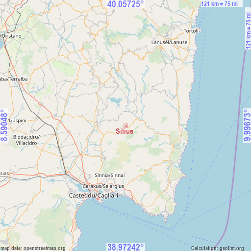
Silius GPS coordinates[2]
39° 31' 1.02" North, 9° 17' 36.96" East
| Map corner | latitude | longitude |
|---|---|---|
| Upper-left | 40.05725°, | 8.59048° |
| Center: | 39.51695°, | 9.2936° |
| Lower-right: | 38.97242°, | 9.99673° |
| Map W x H: | 120.6×120.6 km | = 74.9×74.9mi |
| max Lat: | 47.04031° ⇑90.3% North |
| Silius: | 39.51695° |
| min Lat: | ⇓9.7% South 35.50142° |
| min Long | Silius | max Long |
| 6.69888° | 9.2936° | 18.48682° |
| W 23.5%⇐ | ⇒76.5% E |
Elevation
Elevation of Silius is 592 m = 1942 ft, and this is 285.3 m = 936 ft above average elevation for this country.
| Max E: |
2085 m = 6841 ft | 16% |
| Silius | 592 m 1942 ft | |
| Avg. | 306.7 m = 1006 ft | |
Min E: |
-4 m = -13 ft | 84% |
See also: Italy elevation on elevation.city.
Geographical zone
Silius is located in North temperate zone (between Tropic of Cancer and the Arctic Circle). Distance of this Northern Tropic circle is 1788 km =1111 mi to South.| Distance of | km | miles | from Silius |
|---|---|---|---|
| North Pole | 5613.2 | 3487.9 | to North |
| Arctic Circle | 3007.3 | 1868.6 | to North |
| Tropic Cancer | 1788 | 1111 | to South |
| Equator | 4393.9 | 2730.2 | to South |


Nearby cities:
15 places around Silius: (largest is in red/bold)
• Armungia
7.5 km =4.7 mi,  86°
86°
• Ballao
6.9 km =4.3 mi,  58°
58°
• Barrali
17.1 km =10.6 mi,  254°
254°
• Donorì
17.2 km =10.7 mi,  236°
236°
• Escalaplano
13.1 km =8.1 mi,  22°
22°
• Goni
6.9 km =4.3 mi,  354°
354°
• Ortacesus
17.9 km =11.1 mi,  277°
277°
• San Basilio
8.6 km =5.3 mi,  285°
285°
• San Nicolo'Gerrei
2.3 km =1.4 mi,  152°
152°
• Sant'Andrea Frius
11.4 km =7.1 mi, 248°
• Selegas
17.3 km =10.7 mi, 289°
• Senorbì
14 km =8.7 mi, 277°
• Siurgus Donigala
12.9 km =8 mi,  315°
315°
• Suelli
14.7 km =9.1 mi, 290°
• Villasalto
8.7 km =5.4 mi,  108°
108°
Sources, notices
• [Note1] Compared only with cities in Italy existing in our database
• [Src1] Map data: © OpenStreetMap contributors (CC-BY-SA)
• [Src2] Other city data from geonames.org with taken over terms of usage.
• [Src3] Geographical zone / Annual Mean Temperature by Robert A. Rohde @ Wikipedia
