Vercurago geodata
Vercurago (Lombardy) is a seat of a third-order administrative division; located in Italy in Europe/Rome (GMT+2) time zone. With population of 2,799 people, there are 3218 cities with bigger population in this country. Compared to other cities in Italy, 86.2% of cities are located further ↓South; 74.2% of cities are located further →East and 52% of cities have higher elevation than Vercurago. Note1


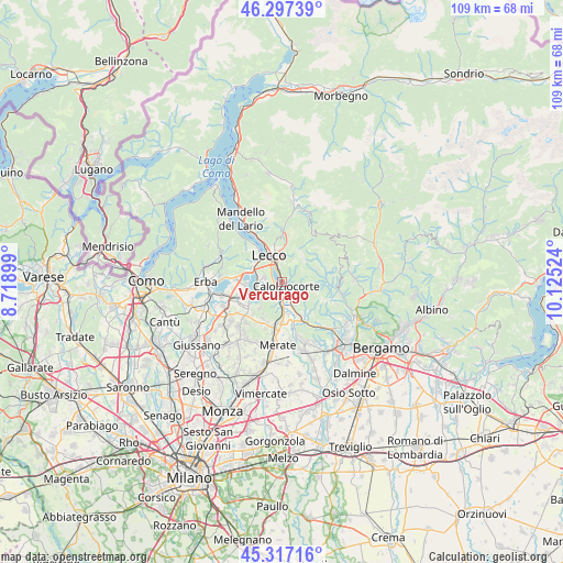
Vercurago GPS coordinates[2]
45° 48' 33.948" North, 9° 25' 19.596" East
| Map corner | latitude | longitude |
|---|---|---|
| Upper-left | 46.29739°, | 8.71899° |
| Center: | 45.80943°, | 9.42211° |
| Lower-right: | 45.31716°, | 10.12524° |
| Map W x H: | 109×109 km | = 67.7×67.7mi |
| max Lat: | 47.04031° ⇑13.8% North |
| Vercurago: | 45.80943° |
| min Lat: | ⇓86.2% South 35.50142° |
| min Long | Vercurago | max Long |
| 6.69888° | 9.42211° | 18.48682° |
| W 25.8%⇐ | ⇒74.2% E |
Elevation
Elevation of Vercurago is 222 m = 728 ft, and this is 84.7 m = 278 ft below average elevation for this country.
| Max E: |
2085 m = 6841 ft | 52% |
| Avg. | 306.7 m = 1006 ft | |
| Vercurago | 222 m = 728 ft | |
Min E: |
-4 m = -13 ft | 48% |
See also: Italy elevation on elevation.city.
Geographical zone
Vercurago is located in North temperate zone (between Tropic of Cancer and the Arctic Circle). Distance of this North polar circle is 2307.6 km =1433.9 mi to North.| Distance of | km | miles | from Vercurago |
|---|---|---|---|
| North Pole | 4913.5 | 3053.1 | to North |
| Arctic Circle | 2307.6 | 1433.9 | to North |
| Tropic Cancer | 2487.6 | 1545.7 | to South |
| Equator | 5093.5 | 3165 | to South |


Nearby cities:
15 places around Vercurago: (largest is in red/bold)
• Calolziocorte
2 km =1.2 mi,  142°
142°
• Carenno
3.3 km =2.1 mi,  105°
105°
• Ello
5.1 km =3.2 mi,  239°
239°
• Erve
2.7 km =1.7 mi,  60°
60°
• Favirano
3.9 km =2.4 mi, 140°
• Galbiate
3.4 km =2.1 mi,  282°
282°
• Garlate
1.8 km =1.1 mi, 279°
• Lecco
5.5 km =3.4 mi,  339°
339°
• Malgrate
5.6 km =3.5 mi,  321°
321°
• Monte Marenzo
4.9 km =3 mi,  148°
148°
• Olginate
2 km =1.2 mi,  187°
187°
• Pescate
3.5 km =2.2 mi, 320°
• Sala al Barro
4.8 km =3 mi, 284°
• Valgreghentino
3.4 km =2.1 mi, 191°
• Vergano-Villa
4.1 km =2.5 mi,  245°
245°
Sources, notices
• [Note1] Compared only with cities in Italy existing in our database
• [Src1] Map data: © OpenStreetMap contributors (CC-BY-SA)
• [Src2] Other city data from geonames.org with taken over terms of usage.
• [Src3] Geographical zone / Annual Mean Temperature by Robert A. Rohde @ Wikipedia
