Piangipane geodata
Piangipane (Emilia-Romagna) is a populated place; located in Italy in Europe/Rome (GMT+2) time zone. With population of 2,391 people, there are 3647 cities with bigger population in this country. Compared to other cities in Italy, 50.1% of cities are located further ↑North; 57.2% of cities are located further ←West and 98.4% of cities have higher elevation than Piangipane. Note1


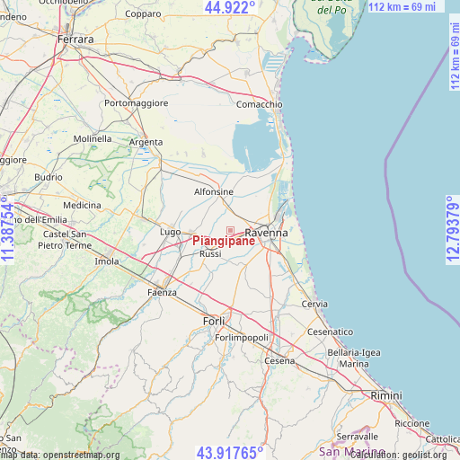
Piangipane GPS coordinates[2]
44° 25' 19.128" North, 12° 5' 26.376" East
| Map corner | latitude | longitude |
|---|---|---|
| Upper-left | 44.922°, | 11.38754° |
| Center: | 44.42198°, | 12.09066° |
| Lower-right: | 43.91765°, | 12.79379° |
| Map W x H: | 111.7×111.7 km | = 69.4×69.4mi |
| max Lat: | 47.04031° ⇑50.1% North |
| Piangipane: | 44.42198° |
| min Lat: | ⇓49.9% South 35.50142° |
| min Long | Piangipane | max Long |
| 6.69888° | 12.09066° | 18.48682° |
| W 57.2%⇐ | ⇒42.8% E |
Elevation
Elevation of Piangipane is 3 m = 10 ft, and this is 303.7 m = 996 ft below average elevation for this country.
| Max E: |
2085 m = 6841 ft | 98.4% |
| Avg. | 306.7 m = 1006 ft | |
| Piangipane | 3 m = 10 ft | |
Min E: |
-4 m = -13 ft | 1.6% |
See also: Italy elevation on elevation.city.
Geographical zone
Piangipane is located in North temperate zone (between Tropic of Cancer and the Arctic Circle). Distance of this Northern Tropic circle is 2333.3 km =1449.8 mi to South.| Distance of | km | miles | from Piangipane |
|---|---|---|---|
| North Pole | 5067.8 | 3149 | to North |
| Arctic Circle | 2461.9 | 1529.8 | to North |
| Tropic Cancer | 2333.3 | 1449.8 | to South |
| Equator | 4939.3 | 3069.1 | to South |


Nearby cities:
15 places around Piangipane: (largest is in red/bold)
• Alfonsine
3.9 km =2.4 mi,  347°
347°
• Bagnacavallo
9 km =5.6 mi,  264°
264°
• Camerlona
3.8 km =2.4 mi,  43°
43°
• Fornace Zarattini
3.4 km =2.1 mi,  99°
99°
• Glorie
5.4 km =3.4 mi, 348°
• Godo
3.6 km =2.2 mi,  200°
200°
• Mezzano
4.9 km =3 mi,  355°
355°
• Ravenna
8.8 km =5.5 mi, 96°
• Roncalceci
8.6 km =5.3 mi,  165°
165°
• Russi
6.8 km =4.2 mi,  221°
221°
• San Michele
2.5 km =1.6 mi,  139°
139°
• San Pancrazio
7.2 km =4.5 mi,  187°
187°
• Santerno
3.3 km =2.1 mi,  300°
300°
• Villanova
4.3 km =2.7 mi,  311°
311°
• Villanova
5 km =3.1 mi,  155°
155°
Sources, notices
• [Note1] Compared only with cities in Italy existing in our database
• [Src1] Map data: © OpenStreetMap contributors (CC-BY-SA)
• [Src2] Other city data from geonames.org with taken over terms of usage.
• [Src3] Geographical zone / Annual Mean Temperature by Robert A. Rohde @ Wikipedia
