Marsia geodata
Marsia (The Marches) is a seat of a third-order administrative division; located in Italy in Europe/Rome (GMT+2) time zone. With population of 1,014 people, there are 6608 cities with bigger population in this country. Compared to other cities in Italy, 64.3% of cities are located further ↑North; 73.3% of cities are located further ←West and 59.6% of cities have lower elevation than Marsia. Note1
Administrative division(s):
- Level 1: The Marches
- Level 2: Provincia di Ascoli Piceno
- Level 3: Roccafluvione


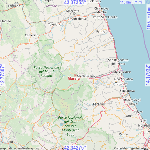
Marsia GPS coordinates[2]
42° 51' 37.08" North, 13° 28' 34.284" East
| Map corner | latitude | longitude |
|---|---|---|
| Upper-left | 43.37355°, | 12.77307° |
| Center: | 42.8603°, | 13.47619° |
| Lower-right: | 42.34275°, | 14.17932° |
| Map W x H: | 114.6×114.6 km | = 71.2×71.2mi |
| max Lat: | 47.04031° ⇑64.3% North |
| Marsia: | 42.8603° |
| min Lat: | ⇓35.7% South 35.50142° |
| min Long | Marsia | max Long |
| 6.69888° | 13.47619° | 18.48682° |
| W 73.3%⇐ | ⇒26.7% E |
Elevation
Elevation of Marsia is 297 m = 974 ft, and this is 9.7 m = 32 ft below average elevation for this country.
| Max E: |
2085 m = 6841 ft | 40.4% |
| Avg. | 306.7 m = 1006 ft | |
| Marsia | 297 m = 974 ft | |
Min E: |
-4 m = -13 ft | 59.6% |
See also: Italy elevation on elevation.city.
Geographical zone
Marsia is located in North temperate zone (between Tropic of Cancer and the Arctic Circle). Distance of this Northern Tropic circle is 2159.7 km =1342 mi to South.| Distance of | km | miles | from Marsia |
|---|---|---|---|
| North Pole | 5241.4 | 3256.9 | to North |
| Arctic Circle | 2635.6 | 1637.7 | to North |
| Tropic Cancer | 2159.7 | 1342 | to South |
| Equator | 4765.6 | 2961.2 | to South |


Nearby cities:
15 places around Marsia: (largest is in red/bold)
• Acquasanta Terme
11.2 km =7 mi,  206°
206°
• Ascoli Piceno
8 km =5 mi,  95°
95°
• Balzo
11.9 km =7.4 mi,  260°
260°
• Comunanza
11.9 km =7.4 mi,  334°
334°
• Force
11.2 km =7 mi,  4°
4°
• Montemonaco
12.6 km =7.8 mi,  289°
289°
• Mozzano
4.5 km =2.8 mi,  138°
138°
• Paggese-Santa Maria
10.3 km =6.4 mi, 207°
• Palmiano
4.6 km =2.9 mi,  342°
342°
• Piagge
8.5 km =5.3 mi,  107°
107°
• Ripaberarda
12.4 km =7.7 mi,  57°
57°
• Rotella
12.4 km =7.7 mi,  32°
32°
• Venagrande
6.4 km =4 mi, 57°
• Venarotta
2.8 km =1.7 mi, 26°
• Villa Pigna
13.2 km =8.2 mi, 103°
Sources, notices
• [Note1] Compared only with cities in Italy existing in our database
• [Src1] Map data: © OpenStreetMap contributors (CC-BY-SA)
• [Src2] Other city data from geonames.org with taken over terms of usage.
• [Src3] Geographical zone / Annual Mean Temperature by Robert A. Rohde @ Wikipedia
