Lugugnana geodata
Lugugnana (Veneto) is a populated place; located in Italy in Europe/Rome (GMT+2) time zone. With population of 1,129 people, there are 6175 cities with bigger population in this country. Compared to other cities in Italy, 82.7% of cities are located further ↓South; 67.8% of cities are located further ←West and 99% of cities have higher elevation than Lugugnana. Note1


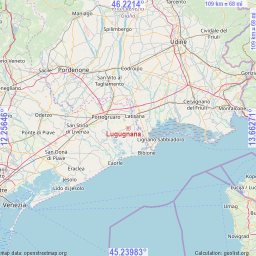
Lugugnana GPS coordinates[2]
45° 43' 57.972" North, 12° 57' 34.488" East
| Map corner | latitude | longitude |
|---|---|---|
| Upper-left | 46.2214°, | 12.25646° |
| Center: | 45.73277°, | 12.95958° |
| Lower-right: | 45.23983°, | 13.66271° |
| Map W x H: | 109.1×109.1 km | = 67.8×67.8mi |
| max Lat: | 47.04031° ⇑17.3% North |
| Lugugnana: | 45.73277° |
| min Lat: | ⇓82.7% South 35.50142° |
| min Long | Lugugnana | max Long |
| 6.69888° | 12.95958° | 18.48682° |
| W 67.8%⇐ | ⇒32.2% E |
Elevation
Elevation of Lugugnana is 2 m = 7 ft, and this is 304.7 m = 1000 ft below average elevation for this country.
| Max E: |
2085 m = 6841 ft | 99% |
| Avg. | 306.7 m = 1006 ft | |
| Lugugnana | 2 m = 7 ft | |
Min E: |
-4 m = -13 ft | 1% |
See also: Italy elevation on elevation.city.
Geographical zone
Lugugnana is located in North temperate zone (between Tropic of Cancer and the Arctic Circle). Distance of this North polar circle is 2316.2 km =1439.2 mi to North.| Distance of | km | miles | from Lugugnana |
|---|---|---|---|
| North Pole | 4922.1 | 3058.5 | to North |
| Arctic Circle | 2316.2 | 1439.2 | to North |
| Tropic Cancer | 2479.1 | 1540.4 | to South |
| Equator | 5085 | 3159.7 | to South |


Nearby cities:
15 places around Lugugnana: (largest is in red/bold)
• Cesarolo
4.6 km =2.9 mi,  109°
109°
• Concordia Sagittaria
11 km =6.8 mi,  286°
286°
• Fossalta di Portogruaro
7.8 km =4.8 mi,  330°
330°
• Gorgo
5.2 km =3.2 mi,  72°
72°
• Latisana
5.4 km =3.4 mi,  42°
42°
• Pertegada
6.6 km =4.1 mi,  100°
100°
• Portogruaro
10.7 km =6.6 mi,  299°
299°
• Precenicco
11.5 km =7.1 mi,  51°
51°
• Ronchis
8.8 km =5.5 mi,  18°
18°
• San Giorgio al Tagliamento-Pozzi
7.1 km =4.4 mi,  2°
2°
• San Michele al Tagliamento
4.5 km =2.8 mi, 38°
• Sindacale
7.2 km =4.5 mi,  243°
243°
• Stiago
7.3 km =4.5 mi,  311°
311°
• Teglio Veneto
11 km =6.8 mi, 327°
• Villanova Santa Margherita
6.3 km =3.9 mi, 307°
Sources, notices
• [Note1] Compared only with cities in Italy existing in our database
• [Src1] Map data: © OpenStreetMap contributors (CC-BY-SA)
• [Src2] Other city data from geonames.org with taken over terms of usage.
• [Src3] Geographical zone / Annual Mean Temperature by Robert A. Rohde @ Wikipedia
