Candela geodata
Candela (Apulia) is a seat of a third-order administrative division; located in Italy in Europe/Rome (GMT+2) time zone. With population of 2,197 people, there are 3876 cities with bigger population in this country. Compared to other cities in Italy, 77.3% of cities are located further ↑North; 90.7% of cities are located further ←West and 76.5% of cities have lower elevation than Candela. Note1


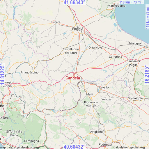
Candela GPS coordinates[2]
41° 8' 9.636" North, 15° 30' 55.332" East
| Map corner | latitude | longitude |
|---|---|---|
| Upper-left | 41.66343°, | 14.81225° |
| Center: | 41.13601°, | 15.51537° |
| Lower-right: | 40.60432°, | 16.2185° |
| Map W x H: | 117.8×117.8 km | = 73.2×73.2mi |
| max Lat: | 47.04031° ⇑77.3% North |
| Candela: | 41.13601° |
| min Lat: | ⇓22.7% South 35.50142° |
| min Long | Candela | max Long |
| 6.69888° | 15.51537° | 18.48682° |
| W 90.7%⇐ | ⇒9.3% E |
Elevation
Elevation of Candela is 473 m = 1552 ft, and this is 166.3 m = 546 ft above average elevation for this country.
| Max E: |
2085 m = 6841 ft | 23.5% |
| Candela | 473 m 1552 ft | |
| Avg. | 306.7 m = 1006 ft | |
Min E: |
-4 m = -13 ft | 76.5% |
See also: Italy elevation on elevation.city.
Geographical zone
Candela is located in North temperate zone (between Tropic of Cancer and the Arctic Circle). Distance of this Northern Tropic circle is 1968 km =1222.9 mi to South.| Distance of | km | miles | from Candela |
|---|---|---|---|
| North Pole | 5433.2 | 3376 | to North |
| Arctic Circle | 2827.3 | 1756.8 | to North |
| Tropic Cancer | 1968 | 1222.9 | to South |
| Equator | 4573.9 | 2842.1 | to South |


Nearby cities:
15 places around Candela: (largest is in red/bold)
• Accadia
15.6 km =9.7 mi,  278°
278°
• Anzano di Puglia
19.2 km =11.9 mi,  265°
265°
• Aquilonia
16.9 km =10.5 mi,  191°
191°
• Ascoli Satriano
8.7 km =5.4 mi,  29°
29°
• Bisaccia
18.3 km =11.4 mi,  219°
219°
• Bisaccia Nuova
19.4 km =12.1 mi, 223°
• Bovino
19.4 km =12.1 mi,  310°
310°
• Castelluccio dei Sauri
19 km =11.8 mi,  349°
349°
• Deliceto
14.6 km =9.1 mi, 311°
• Lacedonia
12.4 km =7.7 mi, 219°
• Monteverde
15.4 km =9.6 mi,  174°
174°
• Rocchetta Sant'Antonio
5.9 km =3.7 mi,  231°
231°
• Sant'Agata di Puglia
11.5 km =7.1 mi, 278°
• Scampitella
18.7 km =11.6 mi,  254°
254°
• Zona 179
17.1 km =10.6 mi,  149°
149°
Sources, notices
• [Note1] Compared only with cities in Italy existing in our database
• [Src1] Map data: © OpenStreetMap contributors (CC-BY-SA)
• [Src2] Other city data from geonames.org with taken over terms of usage.
• [Src3] Geographical zone / Annual Mean Temperature by Robert A. Rohde @ Wikipedia
