Baschi geodata
Baschi (Umbria) is a seat of a third-order administrative division; located in Italy in Europe/Rome (GMT+2) time zone. With population of 941 people, there are 6917 cities with bigger population in this country. Compared to other cities in Italy, 65.3% of cities are located further ↑North; 58.9% of cities are located further ←West and 58.9% of cities have higher elevation than Baschi. Note1


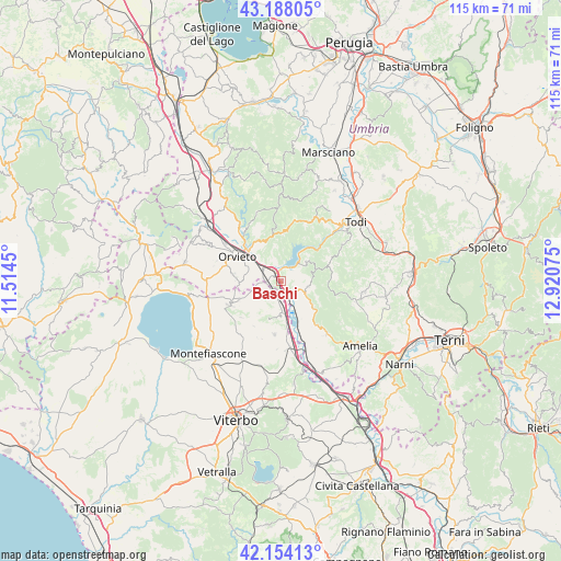
Baschi GPS coordinates[2]
42° 40' 23.664" North, 12° 13' 3.432" East
| Map corner | latitude | longitude |
|---|---|---|
| Upper-left | 43.18805°, | 11.5145° |
| Center: | 42.67324°, | 12.21762° |
| Lower-right: | 42.15413°, | 12.92075° |
| Map W x H: | 115×115 km | = 71.5×71.5mi |
| max Lat: | 47.04031° ⇑65.3% North |
| Baschi: | 42.67324° |
| min Lat: | ⇓34.7% South 35.50142° |
| min Long | Baschi | max Long |
| 6.69888° | 12.21762° | 18.48682° |
| W 58.9%⇐ | ⇒41.1% E |
Elevation
Elevation of Baschi is 172 m = 564 ft, and this is 134.7 m = 442 ft below average elevation for this country.
| Max E: |
2085 m = 6841 ft | 58.9% |
| Avg. | 306.7 m = 1006 ft | |
| Baschi | 172 m = 564 ft | |
Min E: |
-4 m = -13 ft | 41.1% |
See also: Italy elevation on elevation.city.
Geographical zone
Baschi is located in North temperate zone (between Tropic of Cancer and the Arctic Circle). Distance of this Northern Tropic circle is 2138.9 km =1329.1 mi to South.| Distance of | km | miles | from Baschi |
|---|---|---|---|
| North Pole | 5262.2 | 3269.8 | to North |
| Arctic Circle | 2656.4 | 1650.6 | to North |
| Tropic Cancer | 2138.9 | 1329.1 | to South |
| Equator | 4744.8 | 2948.3 | to South |


Nearby cities:
15 places around Baschi: (largest is in red/bold)
• Alviano
11.3 km =7 mi,  144°
144°
• Bagnoregio
11.6 km =7.2 mi,  244°
244°
• Canale Nuovo
7.2 km =4.5 mi,  282°
282°
• Castiglione in Teverina
2.8 km =1.7 mi,  205°
205°
• Ciconia
9.6 km =6 mi,  314°
314°
• Civitella d'Agliano
8.2 km =5.1 mi,  198°
198°
• Graffignano
11 km =6.8 mi,  187°
187°
• Guardea
8.7 km =5.4 mi,  129°
129°
• Lubriano
9.8 km =6.1 mi,  245°
245°
• Lugnano in Teverina
14.4 km =8.9 mi, 138°
• Montecchio
5.9 km =3.7 mi,  101°
101°
• Orvieto
10 km =6.2 mi,  300°
300°
• Orvieto Scalo
8.6 km =5.3 mi, 307°
• Porano
9.4 km =5.8 mi, 275°
• Sferracavallo
11.6 km =7.2 mi, 300°
Sources, notices
• [Note1] Compared only with cities in Italy existing in our database
• [Src1] Map data: © OpenStreetMap contributors (CC-BY-SA)
• [Src2] Other city data from geonames.org with taken over terms of usage.
• [Src3] Geographical zone / Annual Mean Temperature by Robert A. Rohde @ Wikipedia
