Badia geodata
Badia (Trentino-Alto Adige) is a seat of a third-order administrative division; located in Italy in Europe/Rome (GMT+2) time zone. With population of 893 people, there are 7196 cities with bigger population in this country. Compared to other cities in Italy, 98.9% of cities are located further ↓South; 54.5% of cities are located further ←West and 99.3% of cities have lower elevation than Badia. Note1


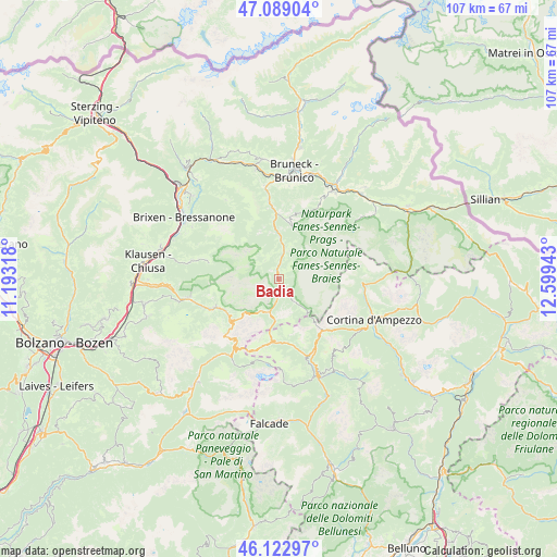
Badia GPS coordinates[2]
46° 36' 29.376" North, 11° 53' 46.68" East
| Map corner | latitude | longitude |
|---|---|---|
| Upper-left | 47.08904°, | 11.19318° |
| Center: | 46.60816°, | 11.8963° |
| Lower-right: | 46.12297°, | 12.59943° |
| Map W x H: | 107.4×107.4 km | = 66.7×66.7mi |
| max Lat: | 47.04031° ⇑1.1% North |
| Badia: | 46.60816° |
| min Lat: | ⇓98.9% South 35.50142° |
| min Long | Badia | max Long |
| 6.69888° | 11.8963° | 18.48682° |
| W 54.5%⇐ | ⇒45.5% E |
Elevation
Elevation of Badia is 1345 m = 4413 ft, and this is 1038.3 m = 3406 ft above average elevation for this country.
| Max E: |
2085 m = 6841 ft | 0.7% |
| Badia | 1345 m 4413 ft | |
| Avg. | 306.7 m = 1006 ft | |
Min E: |
-4 m = -13 ft | 99.3% |
See also: Italy elevation on elevation.city.
Geographical zone
Badia is located in North temperate zone (between Tropic of Cancer and the Arctic Circle). Distance of this North polar circle is 2218.8 km =1378.7 mi to North.| Distance of | km | miles | from Badia |
|---|---|---|---|
| North Pole | 4824.7 | 2997.9 | to North |
| Arctic Circle | 2218.8 | 1378.7 | to North |
| Tropic Cancer | 2576.4 | 1600.9 | to South |
| Equator | 5182.3 | 3220.1 | to South |


Nearby cities:
15 places around Badia: (largest is in red/bold)
• Alba-Penia
18.4 km =11.4 mi,  204°
204°
• Canazei
17.6 km =10.9 mi,  213°
213°
• Corvara in Badia
6.7 km =4.2 mi, 195°
• Funes - Villnoess
17.1 km =10.6 mi,  283°
283°
• La Valle - Wengen
5.9 km =3.7 mi,  21°
21°
• La Villa
2.5 km =1.6 mi,  165°
165°
• Livinallongo del Col di Lana
14.7 km =9.1 mi,  162°
162°
• Ortisei
17.5 km =10.9 mi,  258°
258°
• San Genesio
5.9 km =3.7 mi, 21°
• San Martino in Badia
8.2 km =5.1 mi,  0°
0°
• San Pietro
16.7 km =10.4 mi, 282°
• San Vigilio
10.4 km =6.5 mi,  14°
14°
• Santa Cristina Valgardena
13.5 km =8.4 mi,  248°
248°
• Selva
12 km =7.5 mi,  240°
240°
• Villa
18.4 km =11.4 mi,  326°
326°
Sources, notices
• [Note1] Compared only with cities in Italy existing in our database
• [Src1] Map data: © OpenStreetMap contributors (CC-BY-SA)
• [Src2] Other city data from geonames.org with taken over terms of usage.
• [Src3] Geographical zone / Annual Mean Temperature by Robert A. Rohde @ Wikipedia
