Orsago geodata
Orsago (Veneto) is a seat of a third-order administrative division; located in Italy in Europe/Rome (GMT+2) time zone. With population of 3,533 people, there are 2658 cities with bigger population in this country. Compared to other cities in Italy, 90% of cities are located further ↓South; 61.6% of cities are located further ←West and 81.5% of cities have higher elevation than Orsago. Note1


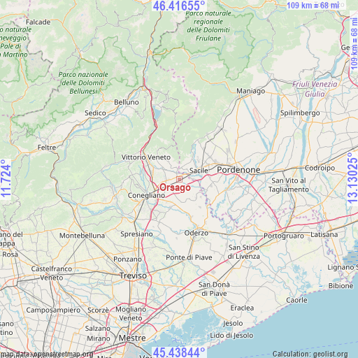
Orsago GPS coordinates[2]
45° 55' 46.74" North, 12° 25' 37.632" East
| Map corner | latitude | longitude |
|---|---|---|
| Upper-left | 46.41655°, | 11.724° |
| Center: | 45.92965°, | 12.42712° |
| Lower-right: | 45.43844°, | 13.13025° |
| Map W x H: | 108.8×108.8 km | = 67.6×67.6mi |
| max Lat: | 47.04031° ⇑10% North |
| Orsago: | 45.92965° |
| min Lat: | ⇓90% South 35.50142° |
| min Long | Orsago | max Long |
| 6.69888° | 12.42712° | 18.48682° |
| W 61.6%⇐ | ⇒38.4% E |
Elevation
Elevation of Orsago is 44 m = 144 ft, and this is 262.7 m = 862 ft below average elevation for this country.
| Max E: |
2085 m = 6841 ft | 81.5% |
| Avg. | 306.7 m = 1006 ft | |
| Orsago | 44 m = 144 ft | |
Min E: |
-4 m = -13 ft | 18.5% |
See also: Italy elevation on elevation.city.
Geographical zone
Orsago is located in North temperate zone (between Tropic of Cancer and the Arctic Circle). Distance of this North polar circle is 2294.3 km =1425.6 mi to North.| Distance of | km | miles | from Orsago |
|---|---|---|---|
| North Pole | 4900.2 | 3044.8 | to North |
| Arctic Circle | 2294.3 | 1425.6 | to North |
| Tropic Cancer | 2501 | 1554 | to South |
| Equator | 5106.9 | 3173.3 | to South |


Nearby cities:
15 places around Orsago: (largest is in red/bold)
• Bibano
2.5 km =1.6 mi,  170°
170°
• Caneva
5 km =3.1 mi,  23°
23°
• Cavolano-Schiavoi
5.7 km =3.5 mi,  85°
85°
• Colle Umberto
6.7 km =4.2 mi,  282°
282°
• Cordignano
2.4 km =1.5 mi,  338°
338°
• Francenigo
6.4 km =4 mi,  112°
112°
• Godega
2.3 km =1.4 mi,  267°
267°
• Mescolino-Minelle
5.8 km =3.6 mi,  299°
299°
• Roverbasso
6.6 km =4.1 mi,  160°
160°
• Sacile
6.4 km =4 mi,  65°
65°
• San Fior di Sopra
5.2 km =3.2 mi,  260°
260°
• San Fior di Sotto
5 km =3.1 mi,  234°
234°
• San Giovanni di Livenza
6.9 km =4.3 mi,  98°
98°
• Sarmede
6.1 km =3.8 mi,  328°
328°
• Villa di Villa
4.2 km =2.6 mi,  347°
347°
Sources, notices
• [Note1] Compared only with cities in Italy existing in our database
• [Src1] Map data: © OpenStreetMap contributors (CC-BY-SA)
• [Src2] Other city data from geonames.org with taken over terms of usage.
• [Src3] Geographical zone / Annual Mean Temperature by Robert A. Rohde @ Wikipedia
