Magherno geodata
Magherno (Lombardy) is a seat of a third-order administrative division; located in Italy in Europe/Rome (GMT+2) time zone. With population of 1,683 people, there are 4704 cities with bigger population in this country. Compared to other cities in Italy, 65.5% of cities are located further ↓South; 75.8% of cities are located further →East and 74.9% of cities have higher elevation than Magherno. Note1


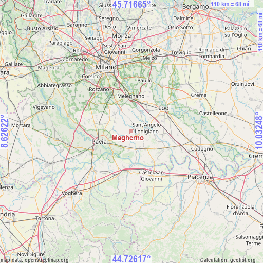
Magherno GPS coordinates[2]
45° 13' 24.852" North, 9° 19' 45.66" East
| Map corner | latitude | longitude |
|---|---|---|
| Upper-left | 45.71665°, | 8.62622° |
| Center: | 45.22357°, | 9.32935° |
| Lower-right: | 44.72617°, | 10.03248° |
| Map W x H: | 110.1×110.1 km | = 68.4×68.4mi |
| max Lat: | 47.04031° ⇑34.5% North |
| Magherno: | 45.22357° |
| min Lat: | ⇓65.5% South 35.50142° |
| min Long | Magherno | max Long |
| 6.69888° | 9.32935° | 18.48682° |
| W 24.2%⇐ | ⇒75.8% E |
Elevation
Elevation of Magherno is 74 m = 243 ft, and this is 232.7 m = 763 ft below average elevation for this country.
| Max E: |
2085 m = 6841 ft | 74.9% |
| Avg. | 306.7 m = 1006 ft | |
| Magherno | 74 m = 243 ft | |
Min E: |
-4 m = -13 ft | 25.1% |
See also: Italy elevation on elevation.city.
Geographical zone
Magherno is located in North temperate zone (between Tropic of Cancer and the Arctic Circle). Distance of this North polar circle is 2372.8 km =1474.4 mi to North.| Distance of | km | miles | from Magherno |
|---|---|---|---|
| North Pole | 4978.7 | 3093.6 | to North |
| Arctic Circle | 2372.8 | 1474.4 | to North |
| Tropic Cancer | 2422.5 | 1505.3 | to South |
| Equator | 5028.4 | 3124.5 | to South |


Nearby cities:
15 places around Magherno: (largest is in red/bold)
• Calignano
3.9 km =2.4 mi,  252°
252°
• Copiano
2.9 km =1.8 mi,  187°
187°
• Filighera
5.5 km =3.4 mi, 190°
• Genzone
5.1 km =3.2 mi,  163°
163°
• Gerenzago
3.2 km =2 mi,  127°
127°
• Inverno
5.1 km =3.2 mi,  122°
122°
• Inverno e Monteleone
5.2 km =3.2 mi, 123°
• Marudo
5 km =3.1 mi,  48°
48°
• Marzano
3.8 km =2.4 mi,  315°
315°
• Roncaro
4.3 km =2.7 mi,  276°
276°
• Torre d'Arese
2.3 km =1.4 mi,  336°
336°
• Valera Fratta
3.8 km =2.4 mi,  8°
8°
• Vigalfo
4.8 km =3 mi,  229°
229°
• Villanterio
2.6 km =1.6 mi,  104°
104°
• Vistarino
2.2 km =1.4 mi, 229°
Sources, notices
• [Note1] Compared only with cities in Italy existing in our database
• [Src1] Map data: © OpenStreetMap contributors (CC-BY-SA)
• [Src2] Other city data from geonames.org with taken over terms of usage.
• [Src3] Geographical zone / Annual Mean Temperature by Robert A. Rohde @ Wikipedia
