Cinquegrana geodata
Cinquegrana (Sicily) is a populated place; located in Italy in Europe/Rome (GMT+2) time zone. With population of 676 people, there are 8450 cities with bigger population in this country. Compared to other cities in Italy, 99% of cities are located further ↑North; 84.2% of cities are located further ←West and 51.8% of cities have higher elevation than Cinquegrana. Note1


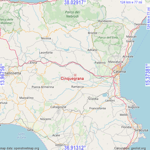
Cinquegrana GPS coordinates[2]
37° 28' 23.628" North, 14° 40' 14.448" East
| Map corner | latitude | longitude |
|---|---|---|
| Upper-left | 38.02917°, | 13.96756° |
| Center: | 37.47323°, | 14.67068° |
| Lower-right: | 36.91312°, | 15.37381° |
| Map W x H: | 124.1×124.1 km | = 77.1×77.1mi |
| max Lat: | 47.04031° ⇑99% North |
| Cinquegrana: | 37.47323° |
| min Lat: | ⇓1% South 35.50142° |
| min Long | Cinquegrana | max Long |
| 6.69888° | 14.67068° | 18.48682° |
| W 84.2%⇐ | ⇒15.8% E |
Elevation
Elevation of Cinquegrana is 223 m = 732 ft, and this is 83.7 m = 275 ft below average elevation for this country.
| Max E: |
2085 m = 6841 ft | 51.8% |
| Avg. | 306.7 m = 1006 ft | |
| Cinquegrana | 223 m = 732 ft | |
Min E: |
-4 m = -13 ft | 48.2% |
See also: Italy elevation on elevation.city.
Geographical zone
Cinquegrana is located in North temperate zone (between Tropic of Cancer and the Arctic Circle). Distance of this Northern Tropic circle is 1560.7 km =969.8 mi to South.| Distance of | km | miles | from Cinquegrana |
|---|---|---|---|
| North Pole | 5840.4 | 3629.1 | to North |
| Arctic Circle | 3234.5 | 2009.8 | to North |
| Tropic Cancer | 1560.7 | 969.8 | to South |
| Equator | 4166.6 | 2589 | to South |


Nearby cities:
15 places around Cinquegrana: (largest is in red/bold)
• Agira
24.3 km =15.1 mi,  326°
326°
• Aidone
20.9 km =13 mi,  251°
251°
• Carrubbo
4 km =2.5 mi,  306°
306°
• Castel di Judica
3.2 km =2 mi,  319°
319°
• Catenanuova
10.8 km =6.7 mi,  9°
9°
• Centuripe
17.8 km =11.1 mi,  20°
20°
• Giumarra
1.9 km =1.2 mi,  281°
281°
• Militello in Val di Catania
24.5 km =15.2 mi,  153°
153°
• Mineo
23.2 km =14.4 mi,  174°
174°
• Palagonia
17.3 km =10.7 mi,  157°
157°
• Paternò
22.9 km =14.2 mi,  63°
63°
• Raddusa
12 km =7.5 mi,  271°
271°
• Ramacca
9.9 km =6.2 mi, 168°
• Regalbuto
20.1 km =12.5 mi,  352°
352°
• Scordia
24.8 km =15.4 mi,  142°
142°
Sources, notices
• [Note1] Compared only with cities in Italy existing in our database
• [Src1] Map data: © OpenStreetMap contributors (CC-BY-SA)
• [Src2] Other city data from geonames.org with taken over terms of usage.
• [Src3] Geographical zone / Annual Mean Temperature by Robert A. Rohde @ Wikipedia
