Segabiello geodata
Segabiello (Lombardy) is a populated place; located in Italy in Europe/Rome (GMT+2) time zone. With population of 593 people, there are 9070 cities with bigger population in this country. Compared to other cities in Italy, 75.1% of cities are located further ↓South; 67.3% of cities are located further →East and 62% of cities have higher elevation than Segabiello. Note1
Administrative division(s):
- Level 1: Lombardy
- Level 2: Provincia di Brescia
- Level 3: Cazzago San Martino


Segabiello GPS coordinates[2]
45° 32' 34.764" North, 10° 2' 45.132" East
| Map corner | latitude | longitude |
|---|---|---|
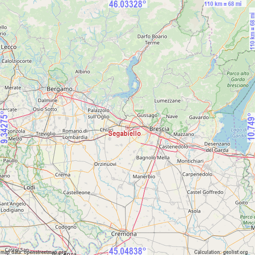
| Upper-left | 46.03328°, | 9.34275° |
| Center: | 45.54299°, | 10.04587° |
| Lower-right: | 45.04838°, | 10.749° |
| Map W x H: | 109.5×109.5 km | = 68×68mi |
| max Lat: | 47.04031° ⇑24.9% North |
| Segabiello: | 45.54299° |
| min Lat: | ⇓75.1% South 35.50142° |
| min Long | Segabiello | max Long |
| 6.69888° | 10.04587° | 18.48682° |
| W 32.7%⇐ | ⇒67.3% E |
Elevation
Elevation of Segabiello is 149 m = 489 ft, and this is 157.7 m = 517 ft below average elevation for this country.
| Max E: |
2085 m = 6841 ft | 62% |
| Avg. | 306.7 m = 1006 ft | |
| Segabiello | 149 m = 489 ft | |
Min E: |
-4 m = -13 ft | 38% |
See also: Italy elevation on elevation.city.
Geographical zone
Segabiello is located in North temperate zone (between Tropic of Cancer and the Arctic Circle). Distance of this North polar circle is 2337.3 km =1452.3 mi to North.| Distance of | km | miles | from Segabiello |
|---|---|---|---|
| North Pole | 4943.2 | 3071.6 | to North |
| Arctic Circle | 2337.3 | 1452.3 | to North |
| Tropic Cancer | 2458 | 1527.3 | to South |
| Equator | 5063.9 | 3146.6 | to South |


Nearby cities:
15 places around Segabiello: (largest is in red/bold)
• Berlinghetto
3.6 km =2.2 mi,  186°
186°
• Berlingo
4.6 km =2.9 mi, 191°
• Bornato
5.6 km =3.5 mi,  356°
356°
• Castegnato
5.7 km =3.5 mi,  69°
69°
• Castrezzato
6.2 km =3.9 mi,  235°
235°
• Cazzago San Martino-Calino
4.9 km =3 mi,  339°
339°
• Coccaglio
6.2 km =3.9 mi,  292°
292°
• Costa-Barco
4.5 km =2.8 mi,  353°
353°
• Duomo
2.3 km =1.4 mi, 238°
• Lodetto
1.4 km =0.9 mi,  308°
308°
• Ospitaletto
2.5 km =1.6 mi, 66°
• Paderno Franciacorta
5.5 km =3.4 mi,  28°
28°
• Rovato
4.1 km =2.5 mi,  303°
303°
• Sant'Andrea
4 km =2.5 mi,  269°
269°
• Travagliato
3.4 km =2.1 mi,  128°
128°
Sources, notices
• [Note1] Compared only with cities in Italy existing in our database
• [Src1] Map data: © OpenStreetMap contributors (CC-BY-SA)
• [Src2] Other city data from geonames.org with taken over terms of usage.
• [Src3] Geographical zone / Annual Mean Temperature by Robert A. Rohde @ Wikipedia
