Yarqā geodata
Yarqā (Balqa) is a seat of a third-order administrative division; located in Jordan in Asia/Amman (GMT+3) time zone. With population of 4,786 people, there are 67 cities with bigger population in this country. Compared to other cities in Jordan, 57.2% of cities are located further ↑North; 76.8% of cities are located further →East and 68.1% of cities have higher elevation than Yarqā. Note1


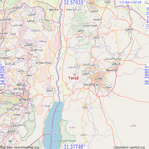
Yarqā GPS coordinates[2]
31° 58' 32.988" North, 35° 41' 46.968" East
| Map corner | latitude | longitude |
|---|---|---|
| Upper-left | 32.57033°, | 34.99326° |
| Center: | 31.97583°, | 35.69638° |
| Lower-right: | 31.37746°, | 36.39951° |
| Map W x H: | 132.6×132.6 km | = 82.4×82.4mi |
| max Lat: | 33.31405° ⇑57.2% North |
| Yarqā: | 31.97583° |
| min Lat: | ⇓42.8% South 29.40842° |
| min Long | Yarqā | max Long |
| 34.97918° | 35.69638° | 38.70342° |
| W 23.2%⇐ | ⇒76.8% E |
Elevation
Elevation of Yarqā is 594 m = 1949 ft, and this is 91.7 m = 301 ft below average elevation for this country.
| Max E: |
1440 m = 4724 ft | 68.1% |
| Avg. | 685.7 m = 2250 ft | |
| Yarqā | 594 m = 1949 ft | |
Min E: |
-366 m = -1201 ft | 31.9% |
See also: Jordan elevation on elevation.city.
Geographical zone
Yarqā is located in North temperate zone (between Tropic of Cancer and the Arctic Circle). Distance of this Northern Tropic circle is 949.5 km =590 mi to South.| Distance of | km | miles | from Yarqā |
|---|---|---|---|
| North Pole | 6451.7 | 4008.9 | to North |
| Arctic Circle | 3845.8 | 2389.7 | to North |
| Tropic Cancer | 949.5 | 590 | to South |
| Equator | 3555.4 | 2209.2 | to South |


Nearby cities:
15 places around Yarqā: (largest is in red/bold)
• Al Fuḩayş
8.6 km =5.3 mi,  68°
68°
• Al Jubayhah
19.4 km =12.1 mi,  78°
78°
• Al Karāmah
11.2 km =7 mi,  257°
257°
• Al ‘Abdallī
20 km =12.4 mi,  93°
93°
• Amman
23.6 km =14.7 mi,  95°
95°
• As Salţ
7.6 km =4.7 mi,  22°
22°
• Ash Shūnah al Janūbīyah
12 km =7.5 mi,  218°
218°
• Aş Şubayḩī
19.2 km =11.9 mi,  2°
2°
• Nā‘ūr
16.5 km =10.3 mi,  132°
132°
• Umm as Summāq
18 km =11.2 mi,  124°
124°
• Wādī as Sīr
11.7 km =7.3 mi, 101°
• Ḩayy al Bunayyāt
19.9 km =12.4 mi, 116°
• Ḩisbān
22.5 km =14 mi,  151°
151°
• ‘Allān
16.4 km =10.2 mi, 15°
• ‘Ayn al Bāshā
15.6 km =9.7 mi,  54°
54°
Sources, notices
• [Note1] Compared only with cities in Jordan existing in our database
• [Src1] Map data: © OpenStreetMap contributors (CC-BY-SA)
• [Src2] Other city data from geonames.org with taken over terms of usage.
• [Src3] Geographical zone / Annual Mean Temperature by Robert A. Rohde @ Wikipedia
