Iida geodata
Iida (Nagano) is a seat of a second-order administrative division; located in Japan in Asia/Tokyo (GMT+9) time zone. With population of 107,111 people, there are 191 cities with bigger population in this country. Compared to other cities in Japan, 53.9% of cities are located further ↓South; 52.3% of cities are located further ←West and 96.9% of cities have lower elevation than Iida. Note1


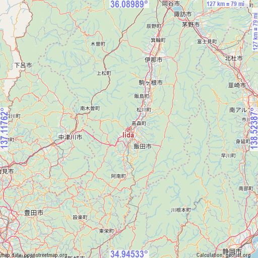
Iida GPS coordinates[2]
35° 31' 10.74" North, 137° 49' 14.664" East
| Map corner | latitude | longitude |
|---|---|---|
| Upper-left | 36.08989°, | 137.11762° |
| Center: | 35.51965°, | 137.82074° |
| Lower-right: | 34.94533°, | 138.52387° |
| Map W x H: | 127.3×127.3 km | = 79.1×79.1mi |
| max Lat: | 45.40944° ⇑46.1% North |
| Iida: | 35.51965° |
| min Lat: | ⇓53.9% South 24.34478° |
| min Long | Iida | max Long |
| 123° | 137.82074° | 145.575° |
| W 52.3%⇐ | ⇒47.7% E |
Elevation
Elevation of Iida is 517 m = 1696 ft, and this is 432.4 m = 1419 ft above average elevation for this country.
| Max E: |
1086 m = 3563 ft | 3.1% |
| Iida | 517 m 1696 ft | |
| Avg. | 84.6 m = 278 ft | |
Min E: |
-2 m = -7 ft | 96.9% |
See also: Iida elevation on elevation.city.
Geographical zone
Iida is located in North temperate zone (between Tropic of Cancer and the Arctic Circle). Distance of this Northern Tropic circle is 1343.5 km =834.8 mi to South.| Distance of | km | miles | from Iida |
|---|---|---|---|
| North Pole | 6057.6 | 3764 | to North |
| Arctic Circle | 3451.8 | 2144.8 | to North |
| Tropic Cancer | 1343.5 | 834.8 | to South |
| Equator | 3949.4 | 2454 | to South |


Nearby cities:
15 places around Iida: (largest is in red/bold)
• Chino
60.8 km =37.8 mi,  29°
29°
• Chūō
62.3 km =38.7 mi,  82°
82°
• Ena
40.4 km =25.1 mi,  258°
258°
• Gero
61.5 km =38.2 mi,  300°
300°
• Hokuto
62.7 km =39 mi,  56°
56°
• Ina
36.3 km =22.6 mi,  19°
19°
• Komagane
24.3 km =15.1 mi, 25°
• Minami-Alps
59.1 km =36.7 mi, 79°
• Mizunami
54.4 km =33.8 mi,  251°
251°
• Nakatsugawa
29.3 km =18.2 mi, 262°
• Nirasaki
60.3 km =37.5 mi,  70°
70°
• Okaya
63 km =39.1 mi, 18°
• Ryūō
63.1 km =39.2 mi, 76°
• Tatsuno
54.1 km =33.6 mi, 17°
• Toki
60.7 km =37.7 mi, 251°
Sources, notices
• [Note1] Compared only with cities in Japan existing in our database
• [Src1] Map data: © OpenStreetMap contributors (CC-BY-SA)
• [Src2] Other city data from geonames.org with taken over terms of usage.
• [Src3] Geographical zone / Annual Mean Temperature by Robert A. Rohde @ Wikipedia
