Obihiro geodata
Obihiro (Hokkaido) is a seat of a second-order administrative division; located in Japan in Asia/Tokyo (GMT+9) time zone. With population of 173,890 people, there are 120 cities with bigger population in this country. Compared to other cities in Japan, 96.6% of cities are located further ↓South; 99.3% of cities are located further ←West and 59% of cities have lower elevation than Obihiro. Note1


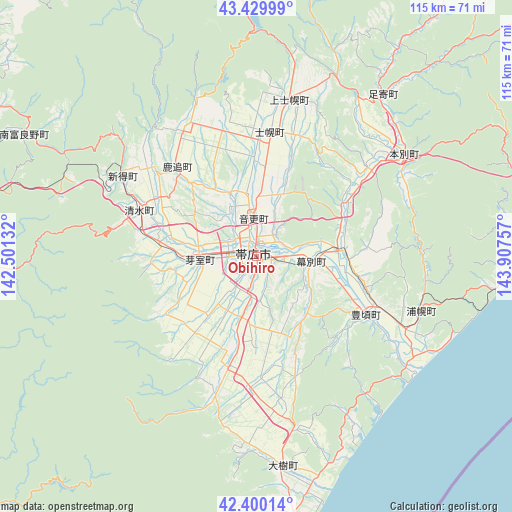
Obihiro GPS coordinates[2]
42° 55' 1.992" North, 143° 12' 15.984" East
| Map corner | latitude | longitude |
|---|---|---|
| Upper-left | 43.42999°, | 142.50132° |
| Center: | 42.91722°, | 143.20444° |
| Lower-right: | 42.40014°, | 143.90757° |
| Map W x H: | 114.5×114.5 km | = 71.1×71.1mi |
| max Lat: | 45.40944° ⇑3.4% North |
| Obihiro: | 42.91722° |
| min Lat: | ⇓96.6% South 24.34478° |
| min Long | Obihiro | max Long |
| 123° | 143.20444° | 145.575° |
| W 99.3%⇐ | ⇒0.7% E |
Elevation
Elevation of Obihiro is 44 m = 144 ft, and this is 40.6 m = 133 ft below average elevation for this country.
| Max E: |
1086 m = 3563 ft | 41% |
| Avg. | 84.6 m = 278 ft | |
| Obihiro | 44 m = 144 ft | |
Min E: |
-2 m = -7 ft | 59% |
See also: Obihiro elevation on elevation.city.
Geographical zone
Obihiro is located in North temperate zone (between Tropic of Cancer and the Arctic Circle). Distance of this Northern Tropic circle is 2166 km =1345.9 mi to South.| Distance of | km | miles | from Obihiro |
|---|---|---|---|
| North Pole | 5235.1 | 3252.9 | to North |
| Arctic Circle | 2629.2 | 1633.7 | to North |
| Tropic Cancer | 2166 | 1345.9 | to South |
| Equator | 4771.9 | 2965.1 | to South |


Nearby cities:
15 places around Obihiro: (largest is in red/bold)
• Akabira
116.9 km =72.6 mi,  307°
307°
• Asahikawa
116.7 km =72.5 mi,  324°
324°
• Ashibetsu
105.6 km =65.6 mi, 308°
• Bibai
118.2 km =73.4 mi,  292°
292°
• Furano
82.2 km =51.1 mi, 305°
• Iwamizawa
121.5 km =75.5 mi, 285°
• Kamikawa
108.4 km =67.4 mi,  341°
341°
• Kitami
113 km =70.2 mi,  29°
29°
• Kushiro
95.5 km =59.3 mi,  86°
86°
• Mikasa
113.3 km =70.4 mi, 289°
• Otofuke
8.3 km =5.2 mi,  357°
357°
• Shimo-furano
82.2 km =51.1 mi, 305°
• Shizunai-furukawachō
94.3 km =58.6 mi,  226°
226°
• Utashinai
114.9 km =71.4 mi, 305°
• Yūbari
102.3 km =63.6 mi,  277°
277°
Sources, notices
• [Note1] Compared only with cities in Japan existing in our database
• [Src1] Map data: © OpenStreetMap contributors (CC-BY-SA)
• [Src2] Other city data from geonames.org with taken over terms of usage.
• [Src3] Geographical zone / Annual Mean Temperature by Robert A. Rohde @ Wikipedia
