Mungyeong geodata
Mungyeong (Gyeongsangbuk-do) is a seat of a third-order administrative division; located in South Korea in Asia/Seoul (GMT+9) time zone. In our database, there are 128 cities with bigger population. Compared to other cities in South Korea, 69.9% of cities are located further ↓South; 79.7% of cities are located further ←West and 90.2% of cities have lower elevation than Mungyeong. Note1


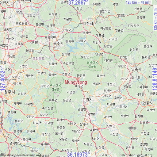
Mungyeong GPS coordinates[2]
36° 44' 7.008" North, 128° 6' 29.988" East
| Map corner | latitude | longitude |
|---|---|---|
| Upper-left | 37.2967°, | 127.40521° |
| Center: | 36.73528°, | 128.10833° |
| Lower-right: | 36.16973°, | 128.81146° |
| Map W x H: | 125.3×125.3 km | = 77.9×77.9mi |
| max Lat: | 38.37881° ⇑30.1% North |
| Mungyeong: | 36.73528° |
| min Lat: | ⇓69.9% South 33.25333° |
| min Long | Mungyeong | max Long |
| 126.10863° | 128.10833° | 129.55377° |
| W 79.7%⇐ | ⇒20.3% E |
Elevation
Elevation of Mungyeong is 169 m = 554 ft, and this is 98.6 m = 323 ft above average elevation for this country.
| Max E: |
691 m = 2267 ft | 9.8% |
| Mungyeong | 169 m 554 ft | |
| Avg. | 70.4 m = 231 ft | |
Min E: |
1 m = 3 ft | 90.2% |
See also: South Korea elevation on elevation.city.
Geographical zone
Mungyeong is located in North temperate zone (between Tropic of Cancer and the Arctic Circle). Distance of this Northern Tropic circle is 1478.7 km =918.8 mi to South.| Distance of | km | miles | from Mungyeong |
|---|---|---|---|
| North Pole | 5922.5 | 3680.1 | to North |
| Arctic Circle | 3316.6 | 2060.8 | to North |
| Tropic Cancer | 1478.7 | 918.8 | to South |
| Equator | 4084.6 | 2538.1 | to South |


Nearby cities:
15 places around Mungyeong: (largest is in red/bold)
• Andong
57.9 km =36 mi,  108°
108°
• Annae
55.1 km =34.2 mi,  226°
226°
• Annam
57.3 km =35.6 mi,  222°
222°
• Cheongju-si
56.2 km =34.9 mi,  258°
258°
• Cheongsan
51.6 km =32.1 mi,  213°
213°
• Cheongseong
55 km =34.2 mi, 214°
• Eisen
47.5 km =29.5 mi,  78°
78°
• Hoenam
57.2 km =35.5 mi,  235°
235°
• Hwanam
36.6 km =22.7 mi, 209°
• Jenzan
57.5 km =35.7 mi,  162°
162°
• Koesan
29.2 km =18.1 mi,  286°
286°
• Mungyeong
17.6 km =10.9 mi,  152°
152°
• Samseung
50.4 km =31.3 mi, 221°
• Sangju
35.9 km =22.3 mi,  172°
172°
• Yecheon
32.1 km =19.9 mi, 105°
Sources, notices
• [Note1] Compared only with cities in South Korea existing in our database
• [Src1] Map data: © OpenStreetMap contributors (CC-BY-SA)
• [Src2] Other city data from geonames.org with taken over terms of usage.
• [Src3] Geographical zone / Annual Mean Temperature by Robert A. Rohde @ Wikipedia
