Goseong geodata
Goseong (Gyeongsangnam-do) is a populated place; located in South Korea in Asia/Seoul (GMT+9) time zone. With population of 26,704 people, there are 107 cities with bigger population in this country. Compared to other cities in South Korea, 82.2% of cities are located further ↑North; 82.2% of cities are located further ←West and 84.3% of cities have higher elevation than Goseong. Note1


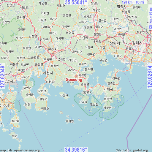
Goseong GPS coordinates[2]
34° 58' 34.716" North, 128° 19' 24.996" East
| Map corner | latitude | longitude |
|---|---|---|
| Upper-left | 35.55041°, | 127.62049° |
| Center: | 34.97631°, | 128.32361° |
| Lower-right: | 34.39816°, | 129.02674° |
| Map W x H: | 128.1×128.1 km | = 79.6×79.6mi |
| max Lat: | 38.37881° ⇑82.2% North |
| Goseong: | 34.97631° |
| min Lat: | ⇓17.8% South 33.25333° |
| min Long | Goseong | max Long |
| 126.10863° | 128.32361° | 129.55377° |
| W 82.2%⇐ | ⇒17.8% E |
Elevation
Elevation of Goseong is 14 m = 46 ft, and this is 56.4 m = 185 ft below average elevation for this country.
| Max E: |
691 m = 2267 ft | 84.3% |
| Avg. | 70.4 m = 231 ft | |
| Goseong | 14 m = 46 ft | |
Min E: |
1 m = 3 ft | 15.7% |
See also: South Korea elevation on elevation.city.
Geographical zone
Goseong is located in North temperate zone (between Tropic of Cancer and the Arctic Circle). Distance of this Northern Tropic circle is 1283.1 km =797.3 mi to South.| Distance of | km | miles | from Goseong |
|---|---|---|---|
| North Pole | 6118.1 | 3801.6 | to North |
| Arctic Circle | 3512.2 | 2182.4 | to North |
| Tropic Cancer | 1283.1 | 797.3 | to South |
| Equator | 3889 | 2416.5 | to South |


Nearby cities:
15 places around Goseong: (largest is in red/bold)
• Changwon
42.9 km =26.7 mi,  49°
49°
• Chinju
32.4 km =20.1 mi,  317°
317°
• Geumseong
48.6 km =30.2 mi,  268°
268°
• Hadong
53.1 km =33 mi,  281°
281°
• Jeongnyang
51.2 km =31.8 mi, 283°
• Jinsang
55.2 km =34.3 mi, 275°
• Jinwol
51.5 km =32 mi, 270°
• Kyosai
27.9 km =17.3 mi,  120°
120°
• Mijo
38.7 km =24 mi,  220°
220°
• Naesŏ
35.3 km =21.9 mi,  30°
30°
• Nammyeon
45.9 km =28.5 mi,  240°
240°
• Oepo
36 km =22.4 mi,  96°
96°
• Okgok
56.9 km =35.4 mi, 271°
• Sangju
41.7 km =25.9 mi,  227°
227°
• Sinhyeon
29.5 km =18.3 mi,  110°
110°
Sources, notices
• [Note1] Compared only with cities in South Korea existing in our database
• [Src1] Map data: © OpenStreetMap contributors (CC-BY-SA)
• [Src2] Other city data from geonames.org with taken over terms of usage.
• [Src3] Geographical zone / Annual Mean Temperature by Robert A. Rohde @ Wikipedia
