Kyosai geodata
Kyosai (Gyeongsangnam-do) is a populated place; located in South Korea in Asia/Seoul (GMT+9) time zone. With population of 72,124 people, there are 68 cities with bigger population in this country. Compared to other cities in South Korea, 90.9% of cities are located further ↑North; 87.1% of cities are located further ←West and 89.9% of cities have higher elevation than Kyosai. Note1


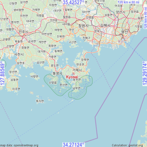
Kyosai GPS coordinates[2]
34° 51' 1.008" North, 128° 35' 18.996" East
| Map corner | latitude | longitude |
|---|---|---|
| Upper-left | 35.42527°, | 127.88549° |
| Center: | 34.85028°, | 128.58861° |
| Lower-right: | 34.27124°, | 129.29174° |
| Map W x H: | 128.3×128.3 km | = 79.7×79.7mi |
| max Lat: | 38.37881° ⇑90.9% North |
| Kyosai: | 34.85028° |
| min Lat: | ⇓9.1% South 33.25333° |
| min Long | Kyosai | max Long |
| 126.10863° | 128.58861° | 129.55377° |
| W 87.1%⇐ | ⇒12.9% E |
Elevation
Elevation of Kyosai is 11 m = 36 ft, and this is 59.4 m = 195 ft below average elevation for this country.
| Max E: |
691 m = 2267 ft | 89.9% |
| Avg. | 70.4 m = 231 ft | |
| Kyosai | 11 m = 36 ft | |
Min E: |
1 m = 3 ft | 10.1% |
See also: Kyosai elevation on elevation.city.
Geographical zone
Kyosai is located in North temperate zone (between Tropic of Cancer and the Arctic Circle). Distance of this Northern Tropic circle is 1269.1 km =788.6 mi to South.| Distance of | km | miles | from Kyosai |
|---|---|---|---|
| North Pole | 6132.1 | 3810.3 | to North |
| Arctic Circle | 3526.2 | 2191.1 | to North |
| Tropic Cancer | 1269.1 | 788.6 | to South |
| Equator | 3875 | 2407.8 | to South |


Nearby cities:
15 places around Kyosai: (largest is in red/bold)
• Busan
49 km =30.4 mi,  55°
55°
• Changwon
42.8 km =26.6 mi,  11°
11°
• Chinju
59.6 km =37 mi,  309°
309°
• Dongnae
59.7 km =37.1 mi,  49°
49°
• Gijang
71.8 km =44.6 mi, 52°
• Goseong
27.9 km =17.3 mi,  300°
300°
• Kimhae
50.3 km =31.3 mi,  31°
31°
• Mijo
51.9 km =32.2 mi,  252°
252°
• Miryang
73 km =45.4 mi, 11°
• Naesŏ
44.9 km =27.9 mi,  351°
351°
• Nammyeon
64.7 km =40.2 mi,  262°
262°
• Oepo
15.4 km =9.6 mi, 49°
• Sangju
56.9 km =35.4 mi, 255°
• Sinhyeon
5 km =3.1 mi,  44°
44°
• Yangsan
68 km =42.3 mi, 36°
Sources, notices
• [Note1] Compared only with cities in South Korea existing in our database
• [Src1] Map data: © OpenStreetMap contributors (CC-BY-SA)
• [Src2] Other city data from geonames.org with taken over terms of usage.
• [Src3] Geographical zone / Annual Mean Temperature by Robert A. Rohde @ Wikipedia
