Zhänibek geodata
Zhänibek (Batys Qazaqstan) is a populated place; located in Kazakhstan in Asia/Oral (GMT+5) time zone. With population of 8,212 people, there are 142 cities with bigger population in this country. Compared to other cities in Kazakhstan, 55.6% of cities are located further ↓South; 99.6% of cities are located further →East and 90.7% of cities have higher elevation than Zhänibek. Note1


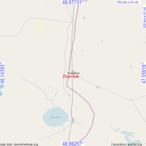
Zhänibek GPS coordinates[2]
49° 25' 19.452" North, 46° 50' 49.38" East
| Map corner | latitude | longitude |
|---|---|---|
| Upper-left | 49.87731°, | 46.14393° |
| Center: | 49.42207°, | 46.84705° |
| Lower-right: | 48.96257°, | 47.55018° |
| Map W x H: | 101.7×101.7 km | = 63.2×63.2mi |
| max Lat: | 54.90596° ⇑44.4% North |
| Zhänibek: | 49.42207° |
| min Lat: | ⇓55.6% South 40.66338° |
| min Long | Zhänibek | max Long |
| 46.83361° | 46.84705° | 84.87144° |
| W 0.4%⇐ | ⇒99.6% E |
Elevation
Elevation of Zhänibek is 29 m = 95 ft, and this is 327.5 m = 1074 ft below average elevation for this country.
| Max E: |
1847 m = 6060 ft | 90.7% |
| Avg. | 356.5 m = 1170 ft | |
| Zhänibek | 29 m = 95 ft | |
Min E: |
-26 m = -85 ft | 9.3% |
See also: Kazakhstan elevation on elevation.city.
Geographical zone
Zhänibek is located in North temperate zone (between Tropic of Cancer and the Arctic Circle). Distance of this North polar circle is 1906 km =1184.3 mi to North.| Distance of | km | miles | from Zhänibek |
|---|---|---|---|
| North Pole | 4511.8 | 2803.5 | to North |
| Arctic Circle | 1906 | 1184.3 | to North |
| Tropic Cancer | 2889.3 | 1795.3 | to South |
| Equator | 5495.2 | 3414.6 | to South |


Nearby cities:
7 places around Zhänibek: (largest is in red/bold)
• Dzhangala
253.7 km =157.6 mi,  95°
95°
• Kaztalovka
138.2 km =85.9 mi,  73°
73°
• Maloye Ganyushkino
361.7 km =224.7 mi,  150°
150°
• Saykhin
62.9 km =39.1 mi,  180°
180°
• Shalkar
215.7 km =134 mi,  135°
135°
• Tasqala
308.6 km =191.8 mi,  52°
52°
• Zhumysker
185.1 km =115 mi,  93°
93°
Sources, notices
• [Note1] Compared only with cities in Kazakhstan existing in our database
• [Src1] Map data: © OpenStreetMap contributors (CC-BY-SA)
• [Src2] Other city data from geonames.org with taken over terms of usage.
• [Src3] Geographical zone / Annual Mean Temperature by Robert A. Rohde @ Wikipedia
