Waldbredimus geodata
Waldbredimus (Remich) is a seat of a third-order administrative division; located in Luxembourg in Europe/Luxembourg (GMT+2) time zone. With population of 416 people, there are 152 cities with bigger population in this country. Compared to other cities in Luxembourg, 78% of cities are located further ↑North; 82.5% of cities are located further ←West and 91.5% of cities have higher elevation than Waldbredimus. Note1


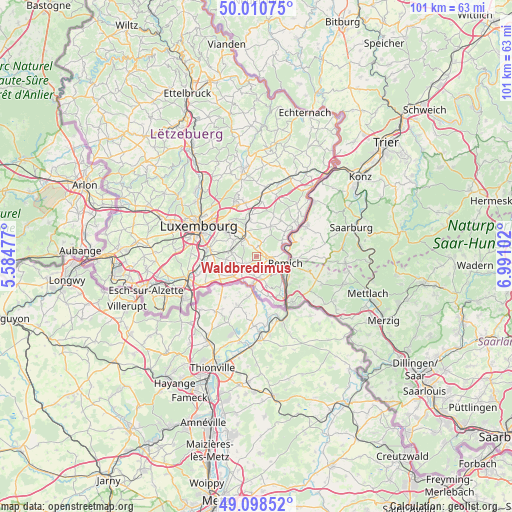
Waldbredimus GPS coordinates[2]
49° 33' 24.336" North, 6° 17' 16.404" East
| Map corner | latitude | longitude |
|---|---|---|
| Upper-left | 50.01075°, | 5.58477° |
| Center: | 49.55676°, | 6.28789° |
| Lower-right: | 49.09852°, | 6.99102° |
| Map W x H: | 101.4×101.4 km | = 63×63mi |
| max Lat: | 50.13722° ⇑78% North |
| Waldbredimus: | 49.55676° |
| min Lat: | ⇓22% South 49.45964° |
| min Long | Waldbredimus | max Long |
| 5.76583° | 6.28789° | 6.50532° |
| W 82.5%⇐ | ⇒17.5% E |
Elevation
Elevation of Waldbredimus is 183 m = 600 ft, and this is 99 m = 325 ft below average elevation for this country.
| Max E: |
502 m = 1647 ft | 91.5% |
| Avg. | 282 m = 925 ft | |
| Waldbredimus | 183 m = 600 ft | |
Min E: |
143 m = 469 ft | 8.5% |
See also: Luxembourg elevation on elevation.city.
Geographical zone
Waldbredimus is located in North temperate zone (between Tropic of Cancer and the Arctic Circle). Distance of this North polar circle is 1891 km =1175 mi to North.| Distance of | km | miles | from Waldbredimus |
|---|---|---|---|
| North Pole | 4496.9 | 2794.2 | to North |
| Arctic Circle | 1891 | 1175 | to North |
| Tropic Cancer | 2904.3 | 1804.6 | to South |
| Equator | 5510.2 | 3423.9 | to South |


Nearby cities:
15 places around Waldbredimus: (largest is in red/bold)
• Altwies
5.6 km =3.5 mi,  203°
203°
• Aspelt
5.9 km =3.7 mi,  230°
230°
• Bech-Kleinmacher
5.6 km =3.5 mi,  120°
120°
• Bous
3 km =1.9 mi,  96°
96°
• Canach
6.2 km =3.9 mi,  26°
26°
• Contern
5.2 km =3.2 mi,  302°
302°
• Dalheim
2.7 km =1.7 mi, 228°
• Elvange
6.1 km =3.8 mi,  160°
160°
• Greiveldange
6 km =3.7 mi,  59°
59°
• Mondorf-les-Bains
5.8 km =3.6 mi,  184°
184°
• Moutfort
3.9 km =2.4 mi,  323°
323°
• Oetrange
4.8 km =3 mi,  335°
335°
• Remich
5.9 km =3.7 mi, 102°
• Schrassig
6.3 km =3.9 mi, 340°
• Stadtbredimus
5.6 km =3.5 mi,  83°
83°
Sources, notices
• [Note1] Compared only with cities in Luxembourg existing in our database
• [Src1] Map data: © OpenStreetMap contributors (CC-BY-SA)
• [Src2] Other city data from geonames.org with taken over terms of usage.
• [Src3] Geographical zone / Annual Mean Temperature by Robert A. Rohde @ Wikipedia
