Smara geodata
Smara (Laâyoune-Sakia El Hamra) is a populated place; located in Morocco in Africa/Casablanca (GMT+1) time zone. With population of 42,056 people, there are 55 cities with bigger population in this country. Compared to other cities in Morocco, 99.2% of cities are located further ↑North; 98.4% of cities are located further →East and 72.9% of cities have higher elevation than Smara. Note1


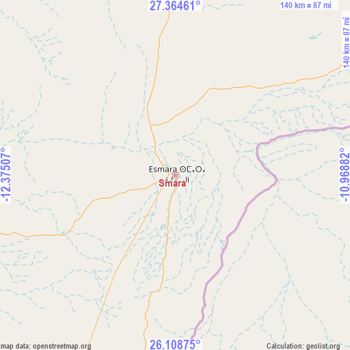
Smara GPS coordinates[2]
26° 44' 18.276" North, 11° 40' 18.984" West
| Map corner | latitude | longitude |
|---|---|---|
| Upper-left | 27.36461°, | -12.37507° |
| Center: | 26.73841°, | -11.67194° |
| Lower-right: | 26.10875°, | -10.96882° |
| Map W x H: | 139.6×139.6 km | = 86.7×86.7mi |
| max Lat: | 35.84906° ⇑99.2% North |
| Smara: | 26.73841° |
| min Lat: | ⇓0.8% South 22.6558° |
| min Long | Smara | max Long |
| -15.60719° | -11.67194° | -1.22855° |
| W 1.6%⇐ | ⇒98.4% E |
Elevation
Elevation of Smara is 188 m = 617 ft, and this is 428.8 m = 1407 ft below average elevation for this country.
| Max E: |
2637 m = 8652 ft | 72.9% |
| Avg. | 616.8 m = 2024 ft | |
| Smara | 188 m = 617 ft | |
Min E: |
1 m = 3 ft | 27.1% |
See also: Smara elevation on elevation.city.
Geographical zone
Smara is located in North temperate zone (between Tropic of Cancer and the Arctic Circle). Distance of this Northern Tropic circle is 367.1 km =228.1 mi to South.| Distance of | km | miles | from Smara |
|---|---|---|---|
| North Pole | 7034 | 4370.7 | to North |
| Arctic Circle | 4428.1 | 2751.5 | to North |
| Tropic Cancer | 367.1 | 228.1 | to South |
| Equator | 2973 | 1847.3 | to South |


Nearby cities:
11 places around Smara: (largest is in red/bold)
• Akhfennir
155.4 km =96.6 mi,  346°
346°
• Guelmim
296.1 km =184 mi,  32°
32°
• Gueltat Zemmour
190.7 km =118.5 mi,  201°
201°
• Ouijjane
383.2 km =238.1 mi, 33°
• Reggada
370.3 km =230.1 mi, 31°
• Sidi Ifni
328.4 km =204.1 mi, 26°
• Tan-Tan
197.1 km =122.5 mi,  16°
16°
• Tanalt
417.3 km =259.3 mi,  35°
35°
• Tarfaya
182.1 km =113.2 mi,  317°
317°
• Tarsouat
408.8 km =254 mi, 39°
• Tiznit
380 km =236.1 mi, 30°
Sources, notices
• [Note1] Compared only with cities in Morocco existing in our database
• [Src1] Map data: © OpenStreetMap contributors (CC-BY-SA)
• [Src2] Other city data from geonames.org with taken over terms of usage.
• [Src3] Geographical zone / Annual Mean Temperature by Robert A. Rohde @ Wikipedia
