Barice geodata
Barice (Bijelo Polje) is a populated locality; located in Montenegro in Europe/Podgorica (GMT+2) time zone. With population of 518 people, there are 57 cities with bigger population in this country. Compared to other cities in Montenegro, 93.7% of cities are located further ↓South; 84.1% of cities are located further ←West and 98.4% of cities have lower elevation than Barice. Note1


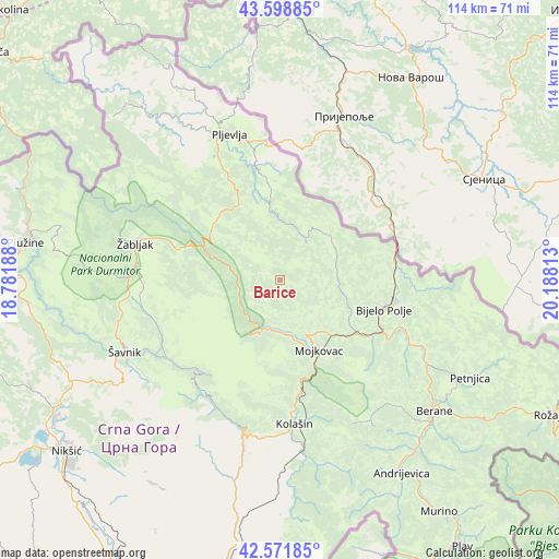
Barice GPS coordinates[2]
43° 5' 15" North, 19° 29' 6" East
| Map corner | latitude | longitude |
|---|---|---|
| Upper-left | 43.59885°, | 18.78188° |
| Center: | 43.0875°, | 19.485° |
| Lower-right: | 42.57185°, | 20.18813° |
| Map W x H: | 114.2×114.2 km | = 71×71mi |
| max Lat: | 43.38472° ⇑6.3% North |
| Barice: | 43.0875° |
| min Lat: | ⇓93.7% South 41.92936° |
| min Long | Barice | max Long |
| 18.50647° | 19.485° | 20.16652° |
| W 84.1%⇐ | ⇒15.9% E |
Elevation
Elevation of Barice is 1405 m = 4610 ft, and this is 1059 m = 3474 ft above average elevation for this country.
| Max E: |
1448 m = 4751 ft | 1.6% |
| Barice | 1405 m 4610 ft | |
| Avg. | 346 m = 1135 ft | |
Min E: |
4 m = 13 ft | 98.4% |
See also: Montenegro elevation on elevation.city.
Geographical zone
Barice is located in North temperate zone (between Tropic of Cancer and the Arctic Circle). Distance of this Northern Tropic circle is 2185 km =1357.7 mi to South.| Distance of | km | miles | from Barice |
|---|---|---|---|
| North Pole | 5216.2 | 3241.2 | to North |
| Arctic Circle | 2610.3 | 1622 | to North |
| Tropic Cancer | 2185 | 1357.7 | to South |
| Equator | 4790.9 | 2976.9 | to South |


Nearby cities:
15 places around Barice: (largest is in red/bold)
• Andrijevica
46.6 km =29 mi,  147°
147°
• Berane
41.7 km =25.9 mi,  130°
130°
• Bijelo Polje
22 km =13.7 mi,  104°
104°
• Dučice
50.8 km =31.6 mi,  215°
215°
• Kolašin
29.6 km =18.4 mi,  175°
175°
• Kuta
48.7 km =30.3 mi, 217°
• Miločani
55.3 km =34.4 mi,  238°
238°
• Mojkovac
16.2 km =10.1 mi, 150°
• Petnjica
43.8 km =27.2 mi,  116°
116°
• Pljevlja
31.6 km =19.6 mi,  341°
341°
• Plužine
52.9 km =32.9 mi,  277°
277°
• Zagrad
49.4 km =30.7 mi, 220°
• Šavnik
34.8 km =21.6 mi,  245°
245°
• Šula
47 km =29.2 mi,  314°
314°
• Žabljak
30.3 km =18.8 mi, 284°
Sources, notices
• [Note1] Compared only with cities in Montenegro existing in our database
• [Src1] Map data: © OpenStreetMap contributors (CC-BY-SA)
• [Src2] Other city data from geonames.org with taken over terms of usage.
• [Src3] Geographical zone / Annual Mean Temperature by Robert A. Rohde @ Wikipedia
