San Juan Jaltepec geodata
San Juan Jaltepec (Oaxaca) is a populated place; located in Mexico in America/Mexico_City (GMT-6) time zone. With population of 1,118 people, there are 7770 cities with bigger population in this country. Compared to other cities in Mexico, 84.7% of cities are located further ↑North; 83% of cities are located further ←West and 71.2% of cities have higher elevation than San Juan Jaltepec. Note1


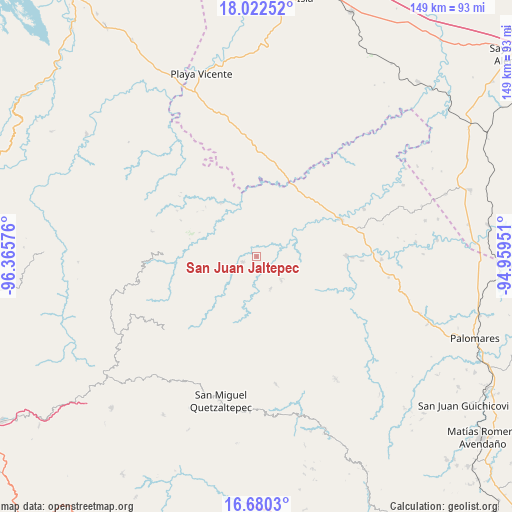
San Juan Jaltepec GPS coordinates[2]
17° 21' 9.504" North, 95° 39' 45.468" West
| Map corner | latitude | longitude |
|---|---|---|
| Upper-left | 18.02252°, | -96.36576° |
| Center: | 17.35264°, | -95.66263° |
| Lower-right: | 16.6803°, | -94.95951° |
| Map W x H: | 149.2×149.2 km | = 92.7×92.7mi |
| max Lat: | 32.7° ⇑84.7% North |
| San Juan Jaltepec: | 17.35264° |
| min Lat: | ⇓15.3% South 14.53588° |
| min Long | San Juan Jaltep | max Long |
| -117.105° | -95.66263° | -86.73105° |
| W 83%⇐ | ⇒17% E |
Elevation
Elevation of San Juan Jaltepec is 361 m = 1184 ft, and this is 892.7 m = 2929 ft below average elevation for this country.
| Max E: |
3497 m = 11473 ft | 71.2% |
| Avg. | 1253.7 m = 4113 ft | |
| San Juan Jaltepec | 361 m = 1184 ft | |
Min E: |
-1 m = -3 ft | 28.8% |
See also: Mexico elevation on elevation.city.
Geographical zone
San Juan Jaltepec is located in North Torrid zone (between Equator and Tropic of Cancer). Distance of this Northern Tropic circle is 676.5 km =420.4 mi to North.| Distance of | km | miles | from San Juan Jaltepec |
|---|---|---|---|
| North Pole | 8077.6 | 5019.2 | to North |
| Arctic Circle | 5471.7 | 3400 | to North |
| Tropic Cancer | 676.5 | 420.4 | to North |
| Equator | 1929.4 | 1198.9 | to South |


Nearby cities:
15 places around San Juan Jaltepec: (largest is in red/bold)
• Arroyo Carrizal
26.1 km =16.2 mi,  65°
65°
• Arroyo Colorado (Cruz Verde)
21 km =13 mi,  351°
351°
• Dolores Hidalgo
24 km =14.9 mi,  51°
51°
• Francisco Villa
25.8 km =16 mi,  58°
58°
• La Esperanza
21.7 km =13.5 mi,  329°
329°
• La Trinidad
15.5 km =9.6 mi, 51°
• Paso del Águila
21.6 km =13.4 mi,  6°
6°
• San Juan Cotzocón
24.6 km =15.3 mi,  211°
211°
• San Juan Otzolotepec
10.2 km =6.3 mi,  134°
134°
• San Juan del Río
18.7 km =11.6 mi, 326°
• Santa María Puxmetacán
10.2 km =6.3 mi,  155°
155°
• Santiago Jalahui
16.1 km =10 mi,  314°
314°
• Santiago Yaveo
4.4 km =2.7 mi,  242°
242°
• Santo Domingo Latani
25.4 km =15.8 mi,  274°
274°
• Tatahuicapá
22.2 km =13.8 mi, 5°
Sources, notices
• [Note1] Compared only with cities in Mexico existing in our database
• [Src1] Map data: © OpenStreetMap contributors (CC-BY-SA)
• [Src2] Other city data from geonames.org with taken over terms of usage.
• [Src3] Geographical zone / Annual Mean Temperature by Robert A. Rohde @ Wikipedia
