Palma Real de Adentro geodata
Palma Real de Adentro (Puebla) is a populated place; located in Mexico in America/Mexico_City (GMT-6) time zone. With population of 576 people, there are 14877 cities with bigger population in this country. Compared to other cities in Mexico, 73.3% of cities are located further ↓South; 66.9% of cities are located further ←West and 81.1% of cities have higher elevation than Palma Real de Adentro. Note1


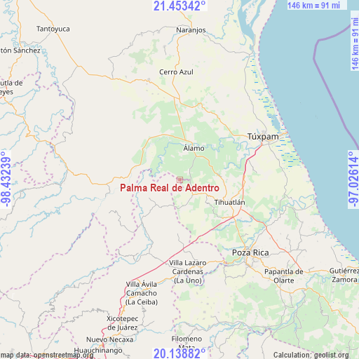
Palma Real de Adentro GPS coordinates[2]
20° 47' 51.18" North, 97° 43' 45.336" West
| Map corner | latitude | longitude |
|---|---|---|
| Upper-left | 21.45342°, | -98.43239° |
| Center: | 20.79755°, | -97.72926° |
| Lower-right: | 20.13882°, | -97.02614° |
| Map W x H: | 146.2×146.2 km | = 90.8×90.8mi |
| max Lat: | 32.7° ⇑26.7% North |
| Palma Real de Adentro: | 20.79755° |
| min Lat: | ⇓73.3% South 14.53588° |
| min Long | Palma Real de A | max Long |
| -117.105° | -97.72926° | -86.73105° |
| W 66.9%⇐ | ⇒33.1% E |
Elevation
Elevation of Palma Real de Adentro is 81 m = 266 ft, and this is 1172.7 m = 3847 ft below average elevation for this country.
| Max E: |
3497 m = 11473 ft | 81.1% |
| Avg. | 1253.7 m = 4113 ft | |
| Palma Real de Adentro | 81 m = 266 ft | |
Min E: |
-1 m = -3 ft | 18.9% |
See also: Mexico elevation on elevation.city.
Geographical zone
Palma Real de Adentro is located in North Torrid zone (between Equator and Tropic of Cancer). Distance of this Northern Tropic circle is 293.4 km =182.3 mi to North.| Distance of | km | miles | from Palma Real de Adentro |
|---|---|---|---|
| North Pole | 7694.6 | 4781.2 | to North |
| Arctic Circle | 5088.7 | 3162 | to North |
| Tropic Cancer | 293.4 | 182.3 | to North |
| Equator | 2312.5 | 1436.9 | to South |


Nearby cities:
15 places around Palma Real de Adentro: (largest is in red/bold)
• Aquiles Serdán
6.5 km =4 mi,  43°
43°
• Castillo de Teayo
11.6 km =7.2 mi,  117°
117°
• El Bejucal
7.4 km =4.6 mi,  83°
83°
• El Tecomate
5.3 km =3.3 mi,  236°
236°
• Emiliano Zapata
7.5 km =4.7 mi,  7°
7°
• La Concepción
9 km =5.6 mi,  34°
34°
• La Providencia
6.2 km =3.9 mi, 37°
• La Reforma
10.7 km =6.6 mi,  45°
45°
• Lima Vieja
10.2 km =6.3 mi,  96°
96°
• Mequetla
4.2 km =2.6 mi,  94°
94°
• Paso del Perro
8.4 km =5.2 mi,  309°
309°
• Rodríguez Clara
10 km =6.2 mi,  358°
358°
• Teayo
7.9 km =4.9 mi,  139°
139°
• Tincontlán
4.8 km =3 mi,  56°
56°
• Venustiano Carranza
3.1 km =1.9 mi,  2°
2°
Sources, notices
• [Note1] Compared only with cities in Mexico existing in our database
• [Src1] Map data: © OpenStreetMap contributors (CC-BY-SA)
• [Src2] Other city data from geonames.org with taken over terms of usage.
• [Src3] Geographical zone / Annual Mean Temperature by Robert A. Rohde @ Wikipedia
