Nopala de Villagran geodata
Nopala de Villagran (Hidalgo) is a populated place; located in Mexico in America/Mexico_City (GMT-6) time zone. With population of 1,065 people, there are 8190 cities with bigger population in this country. Compared to other cities in Mexico, 62.5% of cities are located further ↓South; 59.4% of cities are located further →East and 89.8% of cities have lower elevation than Nopala de Villagran. Note1


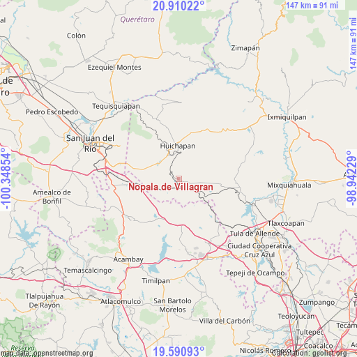
Nopala de Villagran GPS coordinates[2]
20° 15' 7.128" North, 99° 38' 43.476" West
| Map corner | latitude | longitude |
|---|---|---|
| Upper-left | 20.91022°, | -100.34854° |
| Center: | 20.25198°, | -99.64541° |
| Lower-right: | 19.59093°, | -98.94229° |
| Map W x H: | 146.7×146.7 km | = 91.2×91.2mi |
| max Lat: | 32.7° ⇑37.5% North |
| Nopala de Villagran: | 20.25198° |
| min Lat: | ⇓62.5% South 14.53588° |
| min Long | Nopala de Villa | max Long |
| -117.105° | -99.64541° | -86.73105° |
| W 40.6%⇐ | ⇒59.4% E |
Elevation
Elevation of Nopala de Villagran is 2400 m = 7874 ft, and this is 1146.3 m = 3761 ft above average elevation for this country.
| Max E: |
3497 m = 11473 ft | 10.2% |
| Nopala de Villagran | 2400 m 7874 ft | |
| Avg. | 1253.7 m = 4113 ft | |
Min E: |
-1 m = -3 ft | 89.8% |
See also: Mexico elevation on elevation.city.
Geographical zone
Nopala de Villagran is located in North Torrid zone (between Equator and Tropic of Cancer). Distance of this Northern Tropic circle is 354.1 km =220 mi to North.| Distance of | km | miles | from Nopala de Villagran |
|---|---|---|---|
| North Pole | 7755.3 | 4818.9 | to North |
| Arctic Circle | 5149.4 | 3199.7 | to North |
| Tropic Cancer | 354.1 | 220 | to North |
| Equator | 2251.8 | 1399.2 | to South |


Nearby cities:
15 places around Nopala de Villagran: (largest is in red/bold)
• Dongoteay
12.4 km =7.7 mi,  343°
343°
• El Jagüey
3.2 km =2 mi,  100°
100°
• El Saucillo
9.3 km =5.8 mi,  318°
318°
• Huichapan
13.8 km =8.6 mi,  358°
358°
• La Sabinita
12.4 km =7.7 mi,  5°
5°
• Llano Largo
13.7 km =8.5 mi,  293°
293°
• Maravillas
8.1 km =5 mi,  131°
131°
• Pedregoso
8.9 km =5.5 mi,  2°
2°
• Sabina Grande
13.9 km =8.6 mi, 8°
• San José Atlán
10.1 km =6.3 mi, 342°
• San Lorenzo El Chico
13 km =8.1 mi,  273°
273°
• San Lorenzo Nenamicoyan
12.8 km =8 mi,  176°
176°
• San Sebastián Tenochtitlán
5.5 km =3.4 mi,  304°
304°
• San Sebastián de Juárez
14.7 km =9.1 mi, 127°
• Santa Maria Amealco
10.1 km =6.3 mi, 99°
Sources, notices
• [Note1] Compared only with cities in Mexico existing in our database
• [Src1] Map data: © OpenStreetMap contributors (CC-BY-SA)
• [Src2] Other city data from geonames.org with taken over terms of usage.
• [Src3] Geographical zone / Annual Mean Temperature by Robert A. Rohde @ Wikipedia
