Malila geodata
Malila (Hidalgo) is a populated place; located in Mexico in America/Mexico_City (GMT-6) time zone. With population of 612 people, there are 14088 cities with bigger population in this country. Compared to other cities in Mexico, 72.3% of cities are located further ↓South; 54.8% of cities are located further ←West and 50.6% of cities have lower elevation than Malila. Note1


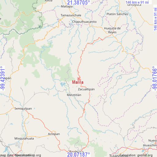
Malila GPS coordinates[2]
20° 43' 51.204" North, 98° 43' 14.808" West
| Map corner | latitude | longitude |
|---|---|---|
| Upper-left | 21.38705°, | -99.42391° |
| Center: | 20.73089°, | -98.72078° |
| Lower-right: | 20.07187°, | -98.01766° |
| Map W x H: | 146.2×146.2 km | = 90.8×90.8mi |
| max Lat: | 32.7° ⇑27.7% North |
| Malila: | 20.73089° |
| min Lat: | ⇓72.3% South 14.53588° |
| min Long | Malila | max Long |
| -117.105° | -98.72078° | -86.73105° |
| W 54.8%⇐ | ⇒45.2% E |
Elevation
Elevation of Malila is 1466 m = 4810 ft, and this is 212.3 m = 697 ft above average elevation for this country.
| Max E: |
3497 m = 11473 ft | 49.4% |
| Malila | 1466 m 4810 ft | |
| Avg. | 1253.7 m = 4113 ft | |
Min E: |
-1 m = -3 ft | 50.6% |
See also: Mexico elevation on elevation.city.
Geographical zone
Malila is located in North Torrid zone (between Equator and Tropic of Cancer). Distance of this Northern Tropic circle is 300.9 km =187 mi to North.| Distance of | km | miles | from Malila |
|---|---|---|---|
| North Pole | 7702 | 4785.8 | to North |
| Arctic Circle | 5096.1 | 3166.6 | to North |
| Tropic Cancer | 300.9 | 187 | to North |
| Equator | 2305.1 | 1432.3 | to South |


Nearby cities:
15 places around Malila: (largest is in red/bold)
• Alumbres
7.6 km =4.7 mi,  154°
154°
• Coatlila
14.8 km =9.2 mi,  109°
109°
• Eloxochitlán
9.2 km =5.7 mi,  278°
278°
• Hualula
12.3 km =7.6 mi,  258°
258°
• Lototla
12.3 km =7.6 mi,  1°
1°
• Molango
6.3 km =3.9 mi,  352°
352°
• Nonoalco
2.6 km =1.6 mi,  127°
127°
• San Cristóbal
15.1 km =9.4 mi,  228°
228°
• Santa Mónica
5.8 km =3.6 mi,  95°
95°
• Soyatla
11.7 km =7.3 mi, 109°
• Tianguistengo
9.2 km =5.7 mi,  92°
92°
• Tizapán
15.6 km =9.7 mi,  124°
124°
• Tlaxco
9.7 km =6 mi,  253°
253°
• Xochicoatlán
6.6 km =4.1 mi,  39°
39°
• Zacualtipán
11.2 km =7 mi,  143°
143°
Sources, notices
• [Note1] Compared only with cities in Mexico existing in our database
• [Src1] Map data: © OpenStreetMap contributors (CC-BY-SA)
• [Src2] Other city data from geonames.org with taken over terms of usage.
• [Src3] Geographical zone / Annual Mean Temperature by Robert A. Rohde @ Wikipedia
