Huiloapan geodata
Huiloapan (Veracruz) is a populated place; located in Mexico in America/Mexico_City (GMT-6) time zone. With population of 3,780 people, there are 2421 cities with bigger population in this country. Compared to other cities in Mexico, 69.5% of cities are located further ↑North; 71.4% of cities are located further ←West and 84.3% of cities have lower elevation than Huiloapan. Note1


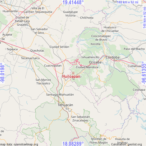
Huiloapan GPS coordinates[2]
18° 45' 0" North, 97° 19' 0.012" West
| Map corner | latitude | longitude |
|---|---|---|
| Upper-left | 19.41448°, | -98.0198° |
| Center: | 18.75°, | -97.31667° |
| Lower-right: | 18.08289°, | -96.61355° |
| Map W x H: | 148.1×148.1 km | = 92×92mi |
| max Lat: | 32.7° ⇑69.5% North |
| Huiloapan: | 18.75° |
| min Lat: | ⇓30.5% South 14.53588° |
| min Long | Huiloapan | max Long |
| -117.105° | -97.31667° | -86.73105° |
| W 71.4%⇐ | ⇒28.6% E |
Elevation
Elevation of Huiloapan is 2248 m = 7375 ft, and this is 994.3 m = 3262 ft above average elevation for this country.
| Max E: |
3497 m = 11473 ft | 15.7% |
| Huiloapan | 2248 m 7375 ft | |
| Avg. | 1253.7 m = 4113 ft | |
Min E: |
-1 m = -3 ft | 84.3% |
See also: Mexico elevation on elevation.city.
Geographical zone
Huiloapan is located in North Torrid zone (between Equator and Tropic of Cancer). Distance of this Northern Tropic circle is 521.1 km =323.8 mi to North.| Distance of | km | miles | from Huiloapan |
|---|---|---|---|
| North Pole | 7922.3 | 4922.7 | to North |
| Arctic Circle | 5316.4 | 3303.5 | to North |
| Tropic Cancer | 521.1 | 323.8 | to North |
| Equator | 2084.8 | 1295.4 | to South |


Nearby cities:
15 places around Huiloapan: (largest is in red/bold)
• Acultzingo
3.7 km =2.3 mi,  158°
158°
• Aquila
5.1 km =3.2 mi,  9°
9°
• Boca Nopal
3.8 km =2.4 mi,  280°
280°
• Buena Vista
6.3 km =3.9 mi,  264°
264°
• Cerro Gordo
8.5 km =5.3 mi,  253°
253°
• Coatepec de Abajo (Rincón Lobo)
7.9 km =4.9 mi,  127°
127°
• Coxolitla de Abajo
7.7 km =4.8 mi,  93°
93°
• Guadalupe Fresnal
4.5 km =2.8 mi,  299°
299°
• Maltrata
8 km =5 mi,  32°
32°
• Próspero Pineda
6.8 km =4.2 mi, 94°
• Puente Colorado
6.9 km =4.3 mi,  222°
222°
• Puente de Guadalupe
7.1 km =4.4 mi,  96°
96°
• Sierra de Agua
7.9 km =4.9 mi, 89°
• Temaxcalapa
5.5 km =3.4 mi, 280°
• Tezuapan (San Isidro)
9.4 km =5.8 mi, 279°
Sources, notices
• [Note1] Compared only with cities in Mexico existing in our database
• [Src1] Map data: © OpenStreetMap contributors (CC-BY-SA)
• [Src2] Other city data from geonames.org with taken over terms of usage.
• [Src3] Geographical zone / Annual Mean Temperature by Robert A. Rohde @ Wikipedia
