Ahuatlán geodata
Ahuatlán (Puebla) is a seat of a second-order administrative division; located in Mexico in America/Mexico_City (GMT-6) time zone. With population of 1,026 people, there are 8492 cities with bigger population in this country. Compared to other cities in Mexico, 71.8% of cities are located further ↑North; 60.4% of cities are located further ←West and 53.1% of cities have higher elevation than Ahuatlán. Note1


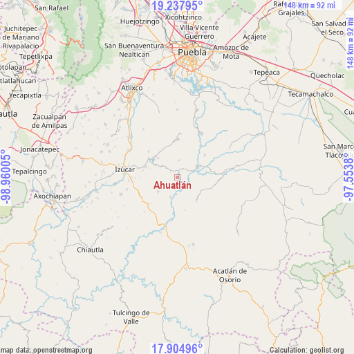
Ahuatlán GPS coordinates[2]
18° 34' 21.936" North, 98° 15' 24.912" West
| Map corner | latitude | longitude |
|---|---|---|
| Upper-left | 19.23795°, | -98.96005° |
| Center: | 18.57276°, | -98.25692° |
| Lower-right: | 17.90496°, | -97.5538° |
| Map W x H: | 148.2×148.2 km | = 92.1×92.1mi |
| max Lat: | 32.7° ⇑71.8% North |
| Ahuatlán: | 18.57276° |
| min Lat: | ⇓28.2% South 14.53588° |
| min Long | Ahuatlán | max Long |
| -117.105° | -98.25692° | -86.73105° |
| W 60.4%⇐ | ⇒39.6% E |
Elevation
Elevation of Ahuatlán is 1286 m = 4219 ft, and this is 32.3 m = 106 ft above average elevation for this country.
| Max E: |
3497 m = 11473 ft | 53.1% |
| Ahuatlán | 1286 m 4219 ft | |
| Avg. | 1253.7 m = 4113 ft | |
Min E: |
-1 m = -3 ft | 46.9% |
See also: Mexico elevation on elevation.city.
Geographical zone
Ahuatlán is located in North Torrid zone (between Equator and Tropic of Cancer). Distance of this Northern Tropic circle is 540.8 km =336 mi to North.| Distance of | km | miles | from Ahuatlán |
|---|---|---|---|
| North Pole | 7942 | 4934.9 | to North |
| Arctic Circle | 5336.1 | 3315.7 | to North |
| Tropic Cancer | 540.8 | 336 | to North |
| Equator | 2065.1 | 1283.2 | to South |


Nearby cities:
15 places around Ahuatlán: (largest is in red/bold)
• Ayotla
16.3 km =10.1 mi,  311°
311°
• Coatzingo
9.9 km =6.2 mi,  63°
63°
• Patlanoaya
8.8 km =5.5 mi,  199°
199°
• San Francisco de Asís
15.4 km =9.6 mi,  189°
189°
• San José las Bocas
17.2 km =10.7 mi,  282°
282°
• San Juan Epatlán
14.5 km =9 mi,  302°
302°
• San Miguel las Minas
10.1 km =6.3 mi,  233°
233°
• San Pablo Soyatitlanapan
14.6 km =9.1 mi,  51°
51°
• San Pedro Calantla
14.8 km =9.2 mi, 280°
• San Pedro Cuayuca
12.7 km =7.9 mi,  142°
142°
• Santa Ana Necoxtla
14 km =8.7 mi,  288°
288°
• Tejaluca
7.1 km =4.4 mi,  5°
5°
• Teopantlán
15.5 km =9.6 mi,  357°
357°
• Totoltepec
13 km =8.1 mi, 313°
• Xochiltepec
12.7 km =7.9 mi, 313°
Sources, notices
• [Note1] Compared only with cities in Mexico existing in our database
• [Src1] Map data: © OpenStreetMap contributors (CC-BY-SA)
• [Src2] Other city data from geonames.org with taken over terms of usage.
• [Src3] Geographical zone / Annual Mean Temperature by Robert A. Rohde @ Wikipedia
