Imperio geodata
Imperio (Oaxaca) is a populated place; located in Mexico in America/Mexico_City (GMT-6) time zone. With population of 567 people, there are 15067 cities with bigger population in this country. Compared to other cities in Mexico, 90.1% of cities are located further ↑North; 68.4% of cities are located further ←West and 87% of cities have lower elevation than Imperio. Note1


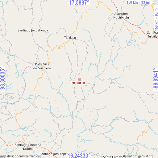
Imperio GPS coordinates[2]
16° 55' 1.992" North, 97° 35' 49.992" West
| Map corner | latitude | longitude |
|---|---|---|
| Upper-left | 17.5887°, | -98.30035° |
| Center: | 16.91722°, | -97.59722° |
| Lower-right: | 16.24333°, | -96.8941° |
| Map W x H: | 149.6×149.6 km | = 93×93mi |
| max Lat: | 32.7° ⇑90.1% North |
| Imperio: | 16.91722° |
| min Lat: | ⇓9.9% South 14.53588° |
| min Long | Imperio | max Long |
| -117.105° | -97.59722° | -86.73105° |
| W 68.4%⇐ | ⇒31.6% E |
Elevation
Elevation of Imperio is 2310 m = 7579 ft, and this is 1056.3 m = 3466 ft above average elevation for this country.
| Max E: |
3497 m = 11473 ft | 13% |
| Imperio | 2310 m 7579 ft | |
| Avg. | 1253.7 m = 4113 ft | |
Min E: |
-1 m = -3 ft | 87% |
See also: Mexico elevation on elevation.city.
Geographical zone
Imperio is located in North Torrid zone (between Equator and Tropic of Cancer). Distance of this Northern Tropic circle is 724.9 km =450.4 mi to North.| Distance of | km | miles | from Imperio |
|---|---|---|---|
| North Pole | 8126 | 5049.3 | to North |
| Arctic Circle | 5520.2 | 3430.1 | to North |
| Tropic Cancer | 724.9 | 450.4 | to North |
| Equator | 1881 | 1168.8 | to South |


Nearby cities:
15 places around Imperio: (largest is in red/bold)
• Agua del Toro
15.2 km =9.4 mi,  303°
303°
• Aldama
5.4 km =3.4 mi,  1°
1°
• Chapultepec
7.8 km =4.8 mi,  16°
16°
• Hidalgo
16.4 km =10.2 mi,  229°
229°
• Ignacio Zaragoza
13.2 km =8.2 mi,  357°
357°
• Morelos
16 km =9.9 mi,  211°
211°
• Progreso
14.5 km =9 mi,  11°
11°
• San Miguel el Grande Villa Juárez
14.6 km =9.1 mi,  349°
349°
• Santa Cruz Itundujia
8.3 km =5.2 mi, 234°
• Santa Cruz Tacahua
11.2 km =7 mi,  88°
88°
• Santa María Ocotlán
15 km =9.3 mi,  289°
289°
• Santiago Yosondúa
5.1 km =3.2 mi,  153°
153°
• Villa Chalcatongo de Hidalgo
13.1 km =8.1 mi, 12°
• Villa de Guadalupe Victoria
17 km =10.6 mi, 355°
• Yutecoso Cuauhtémoc
11 km =6.8 mi,  273°
273°
Sources, notices
• [Note1] Compared only with cities in Mexico existing in our database
• [Src1] Map data: © OpenStreetMap contributors (CC-BY-SA)
• [Src2] Other city data from geonames.org with taken over terms of usage.
• [Src3] Geographical zone / Annual Mean Temperature by Robert A. Rohde @ Wikipedia
