Donaji geodata
Donaji (Oaxaca) is a populated place; located in Mexico in America/Mexico_City (GMT-6) time zone. With population of 2,362 people, there are 3741 cities with bigger population in this country. Compared to other cities in Mexico, 86.2% of cities are located further ↑North; 84.5% of cities are located further ←West and 81.4% of cities have higher elevation than Donaji. Note1


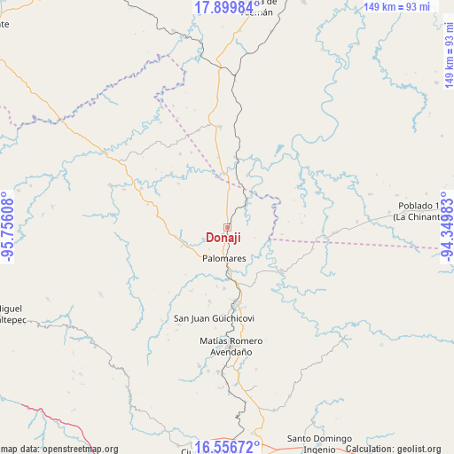
Donaji GPS coordinates[2]
17° 13' 46.2" North, 95° 3' 10.62" West
| Map corner | latitude | longitude |
|---|---|---|
| Upper-left | 17.89984°, | -95.75608° |
| Center: | 17.2295°, | -95.05295° |
| Lower-right: | 16.55672°, | -94.34983° |
| Map W x H: | 149.3×149.3 km | = 92.8×92.8mi |
| max Lat: | 32.7° ⇑86.2% North |
| Donaji: | 17.2295° |
| min Lat: | ⇓13.8% South 14.53588° |
| min Long | Donaji | max Long |
| -117.105° | -95.05295° | -86.73105° |
| W 84.5%⇐ | ⇒15.5% E |
Elevation
Elevation of Donaji is 77 m = 253 ft, and this is 1176.7 m = 3861 ft below average elevation for this country.
| Max E: |
3497 m = 11473 ft | 81.4% |
| Avg. | 1253.7 m = 4113 ft | |
| Donaji | 77 m = 253 ft | |
Min E: |
-1 m = -3 ft | 18.6% |
See also: Mexico elevation on elevation.city.
Geographical zone
Donaji is located in North Torrid zone (between Equator and Tropic of Cancer). Distance of this Northern Tropic circle is 690.2 km =428.9 mi to North.| Distance of | km | miles | from Donaji |
|---|---|---|---|
| North Pole | 8091.3 | 5027.7 | to North |
| Arctic Circle | 5485.4 | 3408.5 | to North |
| Tropic Cancer | 690.2 | 428.9 | to North |
| Equator | 1915.7 | 1190.4 | to South |


Nearby cities:
15 places around Donaji: (largest is in red/bold)
• Boca del Monte
19 km =11.8 mi,  168°
168°
• Coapiloloyita
22.4 km =13.9 mi,  13°
13°
• Cuauhtémoc
22.8 km =14.2 mi,  128°
128°
• Jesús Carranza
23.1 km =14.4 mi, 7°
• La Mixtequita
17.2 km =10.7 mi,  259°
259°
• Los Ángeles
21.9 km =13.6 mi,  327°
327°
• Nuevo Progreso
10.1 km =6.3 mi,  178°
178°
• Palo Dulce
23.2 km =14.4 mi,  352°
352°
• Palomares
10.2 km =6.3 mi,  185°
185°
• Paso Real de Sarabia
17.3 km =10.7 mi, 177°
• Plan de San Luis
10.8 km =6.7 mi,  43°
43°
• San Pedro Evangelista
22.7 km =14.1 mi, 256°
• Santa Ana
19.8 km =12.3 mi, 189°
• Suchilapan del Río
18.7 km =11.6 mi,  21°
21°
• Tolosita
3.1 km =1.9 mi, 176°
Sources, notices
• [Note1] Compared only with cities in Mexico existing in our database
• [Src1] Map data: © OpenStreetMap contributors (CC-BY-SA)
• [Src2] Other city data from geonames.org with taken over terms of usage.
• [Src3] Geographical zone / Annual Mean Temperature by Robert A. Rohde @ Wikipedia
