Chatipán geodata
Chatipán (Hidalgo) is a populated place; located in Mexico in America/Mexico_City (GMT-6) time zone. With population of 1,942 people, there are 4479 cities with bigger population in this country. Compared to other cities in Mexico, 76.8% of cities are located further ↓South; 56.9% of cities are located further ←West and 69.5% of cities have higher elevation than Chatipán. Note1


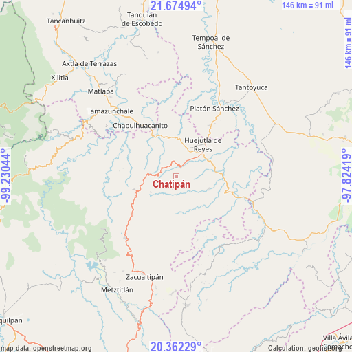
Chatipán GPS coordinates[2]
21° 1' 12.216" North, 98° 31' 38.316" West
| Map corner | latitude | longitude |
|---|---|---|
| Upper-left | 21.67494°, | -99.23044° |
| Center: | 21.02006°, | -98.52731° |
| Lower-right: | 20.36229°, | -97.82419° |
| Map W x H: | 146×146 km | = 90.7×90.7mi |
| max Lat: | 32.7° ⇑23.2% North |
| Chatipán: | 21.02006° |
| min Lat: | ⇓76.8% South 14.53588° |
| min Long | Chatipán | max Long |
| -117.105° | -98.52731° | -86.73105° |
| W 56.9%⇐ | ⇒43.1% E |
Elevation
Elevation of Chatipán is 443 m = 1453 ft, and this is 810.7 m = 2660 ft below average elevation for this country.
| Max E: |
3497 m = 11473 ft | 69.5% |
| Avg. | 1253.7 m = 4113 ft | |
| Chatipán | 443 m = 1453 ft | |
Min E: |
-1 m = -3 ft | 30.5% |
See also: Mexico elevation on elevation.city.
Geographical zone
Chatipán is located in North Torrid zone (between Equator and Tropic of Cancer). Distance of this Northern Tropic circle is 268.7 km =167 mi to North.| Distance of | km | miles | from Chatipán |
|---|---|---|---|
| North Pole | 7669.9 | 4765.9 | to North |
| Arctic Circle | 5064 | 3146.6 | to North |
| Tropic Cancer | 268.7 | 167 | to North |
| Equator | 2337.2 | 1452.3 | to South |


Nearby cities:
15 places around Chatipán: (largest is in red/bold)
• Acatipa
6.3 km =3.9 mi,  302°
302°
• Acuatempa
8.1 km =5 mi,  45°
45°
• Apantlazol
6.8 km =4.2 mi,  239°
239°
• Axcaco
5.7 km =3.5 mi,  345°
345°
• Huazalingo
4.8 km =3 mi,  155°
155°
• Ixcatlán
6.9 km =4.3 mi, 353°
• Machetla
5.6 km =3.5 mi,  37°
37°
• Olotla
6.2 km =3.9 mi,  223°
223°
• Pahuatlán
7.6 km =4.7 mi, 43°
• Peyula
5.2 km =3.2 mi, 295°
• Pilchatipa
6.2 km =3.9 mi,  75°
75°
• San Francisco
4.2 km =2.6 mi,  92°
92°
• Tehuetlán
4.2 km =2.6 mi,  27°
27°
• Tlamamala
5.9 km =3.7 mi,  194°
194°
• Toctitlán
5.7 km =3.5 mi,  259°
259°
Sources, notices
• [Note1] Compared only with cities in Mexico existing in our database
• [Src1] Map data: © OpenStreetMap contributors (CC-BY-SA)
• [Src2] Other city data from geonames.org with taken over terms of usage.
• [Src3] Geographical zone / Annual Mean Temperature by Robert A. Rohde @ Wikipedia
