Atlalco geodata
Atlalco (Veracruz) is a populated place; located in Mexico in America/Mexico_City (GMT-6) time zone. With population of 547 people, there are 15556 cities with bigger population in this country. Compared to other cities in Mexico, 73.6% of cities are located further ↓South; 60.1% of cities are located further ←West and 68.3% of cities have higher elevation than Atlalco. Note1


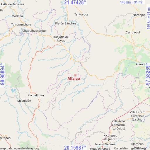
Atlalco GPS coordinates[2]
20° 49' 6.636" North, 98° 17' 8.916" West
| Map corner | latitude | longitude |
|---|---|---|
| Upper-left | 21.47428°, | -98.98894° |
| Center: | 20.81851°, | -98.28581° |
| Lower-right: | 20.15987°, | -97.58269° |
| Map W x H: | 146.1×146.2 km | = 90.8×90.8mi |
| max Lat: | 32.7° ⇑26.4% North |
| Atlalco: | 20.81851° |
| min Lat: | ⇓73.6% South 14.53588° |
| min Long | Atlalco | max Long |
| -117.105° | -98.28581° | -86.73105° |
| W 60.1%⇐ | ⇒39.9% E |
Elevation
Elevation of Atlalco is 507 m = 1663 ft, and this is 746.7 m = 2450 ft below average elevation for this country.
| Max E: |
3497 m = 11473 ft | 68.3% |
| Avg. | 1253.7 m = 4113 ft | |
| Atlalco | 507 m = 1663 ft | |
Min E: |
-1 m = -3 ft | 31.7% |
See also: Mexico elevation on elevation.city.
Geographical zone
Atlalco is located in North Torrid zone (between Equator and Tropic of Cancer). Distance of this Northern Tropic circle is 291.1 km =180.9 mi to North.| Distance of | km | miles | from Atlalco |
|---|---|---|---|
| North Pole | 7692.3 | 4779.8 | to North |
| Arctic Circle | 5086.4 | 3160.5 | to North |
| Tropic Cancer | 291.1 | 180.9 | to North |
| Equator | 2314.8 | 1438.3 | to South |


Nearby cities:
15 places around Atlalco: (largest is in red/bold)
• Acanoa
2.8 km =1.7 mi,  143°
143°
• El Mamey
5.6 km =3.5 mi,  194°
194°
• La Candelaria
7.2 km =4.5 mi,  216°
216°
• Nanayatla
2.5 km =1.6 mi,  75°
75°
• Otlamalacatl
6.6 km =4.1 mi, 75°
• Otlatzintla
5.8 km =3.6 mi, 138°
• Pachiquita
5.9 km =3.7 mi,  301°
301°
• Pocantla
3.9 km =2.4 mi,  314°
314°
• Pohuantitla
6.2 km =3.9 mi,  334°
334°
• Primo Verdad
7.3 km =4.5 mi,  87°
87°
• Tetzacual
5.3 km =3.3 mi,  160°
160°
• Tlaltecatla
5.1 km =3.2 mi,  1°
1°
• Xochiatipan de Castillo
1.8 km =1.1 mi, 0°
• Xococapa
6.9 km =4.3 mi,  261°
261°
• Xocotitla
1.3 km =0.8 mi,  240°
240°
Sources, notices
• [Note1] Compared only with cities in Mexico existing in our database
• [Src1] Map data: © OpenStreetMap contributors (CC-BY-SA)
• [Src2] Other city data from geonames.org with taken over terms of usage.
• [Src3] Geographical zone / Annual Mean Temperature by Robert A. Rohde @ Wikipedia
