San José Chalmita geodata
San José Chalmita (State of Mexico) is a populated place; located in Mexico in America/Mexico_City (GMT-6) time zone. With population of 1,163 people, there are 7459 cities with bigger population in this country. Compared to other cities in Mexico, 67.8% of cities are located further ↑North; 57.6% of cities are located further →East and 74.6% of cities have lower elevation than San José Chalmita. Note1


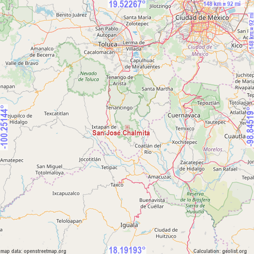
San José Chalmita GPS coordinates[2]
18° 51' 31.032" North, 99° 32' 53.916" West
| Map corner | latitude | longitude |
|---|---|---|
| Upper-left | 19.52267°, | -100.25144° |
| Center: | 18.85862°, | -99.54831° |
| Lower-right: | 18.19193°, | -98.84519° |
| Map W x H: | 148×148 km | = 92×92mi |
| max Lat: | 32.7° ⇑67.8% North |
| San José Chalmita: | 18.85862° |
| min Lat: | ⇓32.2% South 14.53588° |
| min Long | San José Chalm | max Long |
| -117.105° | -99.54831° | -86.73105° |
| W 42.4%⇐ | ⇒57.6% E |
Elevation
Elevation of San José Chalmita is 2023 m = 6637 ft, and this is 769.3 m = 2524 ft above average elevation for this country.
| Max E: |
3497 m = 11473 ft | 25.4% |
| San José Chalmita | 2023 m 6637 ft | |
| Avg. | 1253.7 m = 4113 ft | |
Min E: |
-1 m = -3 ft | 74.6% |
See also: Mexico elevation on elevation.city.
Geographical zone
San José Chalmita is located in North Torrid zone (between Equator and Tropic of Cancer). Distance of this Northern Tropic circle is 509 km =316.3 mi to North.| Distance of | km | miles | from San José Chalmita |
|---|---|---|---|
| North Pole | 7910.2 | 4915.2 | to North |
| Arctic Circle | 5304.3 | 3295.9 | to North |
| Tropic Cancer | 509 | 316.3 | to North |
| Equator | 2096.9 | 1303 | to South |


Nearby cities:
15 places around San José Chalmita: (largest is in red/bold)
• Acatzingo (Acatzingo de la Piedra)
8.4 km =5.2 mi,  329°
329°
• Ejido de la Finca
8.8 km =5.5 mi,  290°
290°
• El Carmen (El Desierto del Carmen)
6.9 km =4.3 mi,  352°
352°
• El Progreso Hidalgo
7.1 km =4.4 mi,  258°
258°
• Guadalupe Tlapizalco
7 km =4.3 mi, 289°
• Jalmolonga (La Hacienda)
8.8 km =5.5 mi,  40°
40°
• La Ascensión
3.6 km =2.2 mi,  232°
232°
• Palmar de Guadalupe
5.4 km =3.4 mi,  15°
15°
• San Antonio Guadalupe
7.8 km =4.8 mi,  310°
310°
• San Juan
3.6 km =2.2 mi,  245°
245°
• San Nicolás
8.6 km =5.3 mi, 345°
• San Pablo Tejalpa
4.6 km =2.9 mi,  281°
281°
• Santa Catarina
4.7 km =2.9 mi, 306°
• Zumpahuacán
4.2 km =2.6 mi,  235°
235°
• Zumpahuacán
6.7 km =4.2 mi,  344°
344°
Sources, notices
• [Note1] Compared only with cities in Mexico existing in our database
• [Src1] Map data: © OpenStreetMap contributors (CC-BY-SA)
• [Src2] Other city data from geonames.org with taken over terms of usage.
• [Src3] Geographical zone / Annual Mean Temperature by Robert A. Rohde @ Wikipedia
