Amatetel geodata
Amatetel (Puebla) is a populated place; located in Mexico in America/Mexico_City (GMT-6) time zone. With population of 680 people, there are 12778 cities with bigger population in this country. Compared to other cities in Mexico, 56.1% of cities are located further ↓South; 71.5% of cities are located further ←West and 63.9% of cities have higher elevation than Amatetel. Note1


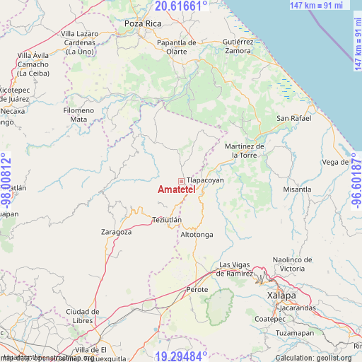
Amatetel GPS coordinates[2]
19° 57' 25.596" North, 97° 18' 17.964" West
| Map corner | latitude | longitude |
|---|---|---|
| Upper-left | 20.61661°, | -98.00812° |
| Center: | 19.95711°, | -97.30499° |
| Lower-right: | 19.29484°, | -96.60187° |
| Map W x H: | 147×147 km | = 91.3×91.3mi |
| max Lat: | 32.7° ⇑43.9% North |
| Amatetel: | 19.95711° |
| min Lat: | ⇓56.1% South 14.53588° |
| min Long | Amatetel | max Long |
| -117.105° | -97.30499° | -86.73105° |
| W 71.5%⇐ | ⇒28.5% E |
Elevation
Elevation of Amatetel is 759 m = 2490 ft, and this is 494.7 m = 1623 ft below average elevation for this country.
| Max E: |
3497 m = 11473 ft | 63.9% |
| Avg. | 1253.7 m = 4113 ft | |
| Amatetel | 759 m = 2490 ft | |
Min E: |
-1 m = -3 ft | 36.1% |
See also: Mexico elevation on elevation.city.
Geographical zone
Amatetel is located in North Torrid zone (between Equator and Tropic of Cancer). Distance of this Northern Tropic circle is 386.9 km =240.4 mi to North.| Distance of | km | miles | from Amatetel |
|---|---|---|---|
| North Pole | 7788 | 4839.2 | to North |
| Arctic Circle | 5182.2 | 3220.1 | to North |
| Tropic Cancer | 386.9 | 240.4 | to North |
| Equator | 2219 | 1378.8 | to South |


Nearby cities:
15 places around Amatetel: (largest is in red/bold)
• Atehuetzin
8.2 km =5.1 mi,  40°
40°
• Congregación Hidalgo
5.6 km =3.5 mi,  85°
85°
• Conta
3.3 km =2.1 mi,  172°
172°
• Ejido Hueytamalco
9.2 km =5.7 mi,  185°
185°
• El Arco
7.3 km =4.5 mi,  111°
111°
• El Mohón
6 km =3.7 mi,  155°
155°
• El Progreso
9.3 km =5.8 mi,  317°
317°
• Epapa
6.2 km =3.9 mi,  154°
154°
• Eytepéquez
7.6 km =4.7 mi,  104°
104°
• Hueytamalco
2.5 km =1.6 mi,  137°
137°
• Limontitán Grande
4.5 km =2.8 mi, 36°
• Nicolás Bravo
9.2 km =5.7 mi, 146°
• San Isidro
8.3 km =5.2 mi,  84°
84°
• Santa Cruz
9.3 km =5.8 mi, 103°
• Vicente Guerrero
5.9 km =3.7 mi, 138°
Sources, notices
• [Note1] Compared only with cities in Mexico existing in our database
• [Src1] Map data: © OpenStreetMap contributors (CC-BY-SA)
• [Src2] Other city data from geonames.org with taken over terms of usage.
• [Src3] Geographical zone / Annual Mean Temperature by Robert A. Rohde @ Wikipedia
