Metepec geodata
Metepec (Puebla) is a populated place; located in Mexico in America/Mexico_City (GMT-6) time zone. With population of 502 people, there are 16762 cities with bigger population in this country. Compared to other cities in Mexico, 56.7% of cities are located further ↓South; 62.9% of cities are located further ←West and 95.6% of cities have lower elevation than Metepec. Note1


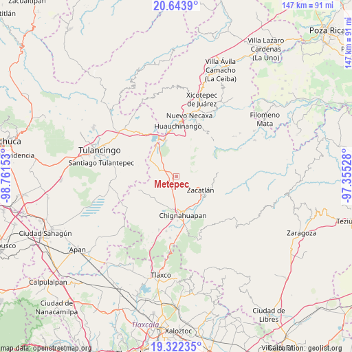
Metepec GPS coordinates[2]
19° 59' 4.236" North, 98° 3' 30.24" West
| Map corner | latitude | longitude |
|---|---|---|
| Upper-left | 20.6439°, | -98.76153° |
| Center: | 19.98451°, | -98.0584° |
| Lower-right: | 19.32235°, | -97.35528° |
| Map W x H: | 146.9×146.9 km | = 91.3×91.3mi |
| max Lat: | 32.7° ⇑43.3% North |
| Metepec: | 19.98451° |
| min Lat: | ⇓56.7% South 14.53588° |
| min Long | Metepec | max Long |
| -117.105° | -98.0584° | -86.73105° |
| W 62.9%⇐ | ⇒37.1% E |
Elevation
Elevation of Metepec is 2610 m = 8563 ft, and this is 1356.3 m = 4450 ft above average elevation for this country.
| Max E: |
3497 m = 11473 ft | 4.4% |
| Metepec | 2610 m 8563 ft | |
| Avg. | 1253.7 m = 4113 ft | |
Min E: |
-1 m = -3 ft | 95.6% |
See also: Mexico elevation on elevation.city.
Geographical zone
Metepec is located in North Torrid zone (between Equator and Tropic of Cancer). Distance of this Northern Tropic circle is 383.8 km =238.5 mi to North.| Distance of | km | miles | from Metepec |
|---|---|---|---|
| North Pole | 7785 | 4837.4 | to North |
| Arctic Circle | 5179.1 | 3218.1 | to North |
| Tropic Cancer | 383.8 | 238.5 | to North |
| Equator | 2222.1 | 1380.7 | to South |


Nearby cities:
15 places around Metepec: (largest is in red/bold)
• Atotonilco
7.9 km =4.9 mi,  282°
282°
• Atzingo (La Cumbre)
9.4 km =5.8 mi,  93°
93°
• Ayotla
7.4 km =4.6 mi,  164°
164°
• Camotepec
7 km =4.3 mi,  351°
351°
• Jicolapa
9.1 km =5.7 mi,  103°
103°
• Laguna Seca
9.3 km =5.8 mi,  311°
311°
• Las Lajas
2.2 km =1.4 mi, 314°
• Las Lajas Primera Sección
4.3 km =2.7 mi, 308°
• Maquixtla
9.9 km =6.2 mi,  126°
126°
• Matlahuacala
5.1 km =3.2 mi,  148°
148°
• Nanacamila
6.8 km =4.2 mi,  294°
294°
• Poxcuatzingo
8.8 km =5.5 mi,  108°
108°
• Pueblo Nuevo (Peñuelas)
6.4 km =4 mi,  239°
239°
• Tepoxcuautla
10.6 km =6.6 mi, 147°
• Zacatlán
11.5 km =7.1 mi,  118°
118°
Sources, notices
• [Note1] Compared only with cities in Mexico existing in our database
• [Src1] Map data: © OpenStreetMap contributors (CC-BY-SA)
• [Src2] Other city data from geonames.org with taken over terms of usage.
• [Src3] Geographical zone / Annual Mean Temperature by Robert A. Rohde @ Wikipedia
