Yohaltún geodata
Yohaltún (Campeche) is a populated place; located in Mexico in America/Merida (GMT-6) time zone. With population of 655 people, there are 13244 cities with bigger population in this country. Compared to other cities in Mexico, 64.5% of cities are located further ↑North; 97.3% of cities are located further ←West and 85% of cities have higher elevation than Yohaltún. Note1


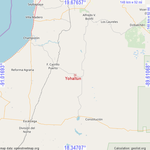
Yohaltún GPS coordinates[2]
19° 0' 47.34" North, 90° 18' 49.68" West
| Map corner | latitude | longitude |
|---|---|---|
| Upper-left | 19.67657°, | -91.01693° |
| Center: | 19.01315°, | -90.3138° |
| Lower-right: | 18.34707°, | -89.61068° |
| Map W x H: | 147.8×147.8 km | = 91.8×91.8mi |
| max Lat: | 32.7° ⇑64.5% North |
| Yohaltún: | 19.01315° |
| min Lat: | ⇓35.5% South 14.53588° |
| min Long | Yohaltún | max Long |
| -117.105° | -90.3138° | -86.73105° |
| W 97.3%⇐ | ⇒2.7% E |
Elevation
Elevation of Yohaltún is 44 m = 144 ft, and this is 1209.7 m = 3969 ft below average elevation for this country.
| Max E: |
3497 m = 11473 ft | 85% |
| Avg. | 1253.7 m = 4113 ft | |
| Yohaltún | 44 m = 144 ft | |
Min E: |
-1 m = -3 ft | 15% |
See also: Mexico elevation on elevation.city.
Geographical zone
Yohaltún is located in North Torrid zone (between Equator and Tropic of Cancer). Distance of this Northern Tropic circle is 491.9 km =305.7 mi to North.| Distance of | km | miles | from Yohaltún |
|---|---|---|---|
| North Pole | 7893 | 4904.5 | to North |
| Arctic Circle | 5287.1 | 3285.3 | to North |
| Tropic Cancer | 491.9 | 305.7 | to North |
| Equator | 2114.1 | 1313.6 | to South |


Nearby cities:
15 places around Yohaltún: (largest is in red/bold)
• Aquiles Serdán (Chuiná)
42.4 km =26.3 mi,  262°
262°
• Carrillo Puerto
23.7 km =14.7 mi,  292°
292°
• Centenario
40.3 km =25 mi,  175°
175°
• Cinco de Febrero
37.9 km =23.5 mi,  242°
242°
• General Ortiz Ávila
43.6 km =27.1 mi, 263°
• Kikab
32.6 km =20.3 mi,  19°
19°
• Laguna Grande
21.6 km =13.4 mi,  173°
173°
• Maya Tecún I
25.5 km =15.8 mi,  307°
307°
• Maya Tecún II
26.3 km =16.3 mi, 309°
• Melchor Ocampo
41.2 km =25.6 mi,  12°
12°
• Pixoyal
31.3 km =19.4 mi,  253°
253°
• Pustunich
22.7 km =14.1 mi, 309°
• Silvituc
41.6 km =25.8 mi, 173°
• Ulumal
43.5 km =27 mi, 311°
• Xbacab
43.6 km =27.1 mi, 259°
Sources, notices
• [Note1] Compared only with cities in Mexico existing in our database
• [Src1] Map data: © OpenStreetMap contributors (CC-BY-SA)
• [Src2] Other city data from geonames.org with taken over terms of usage.
• [Src3] Geographical zone / Annual Mean Temperature by Robert A. Rohde @ Wikipedia
